Alert
Alerts
BOUCLE DE PINATEL
Description
Notes:
- Few shaded sections
- Dangerous junction with the D 24 road after (3) and after (4)
- Water points and toilets below the village square, opposite the church car park
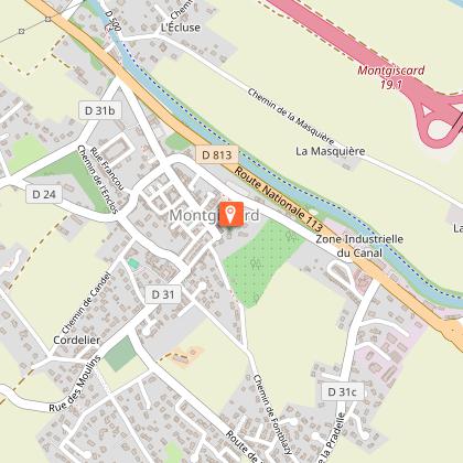
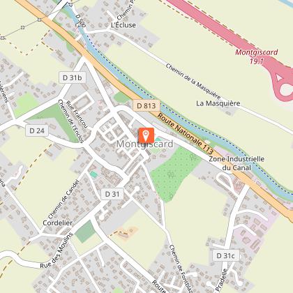
Starting point: the church car park, in the centre of the village of Montgiscard.
Alternative route:
From point (3), turn right onto the tarmac track (panoramic view of the Hers valley). At the junction with the grassy track, turn right, then follow the route from point 4) to continue the loop.
Practical advice for horse riders:
A section suitable for galloping between (3) and (4), a dirt track for 1.2 km.
Technical Information
Altimetric profile
Starting point
Additional information
Detailed stages
- Take the main street in the village opposite the church. After the town hall, take the second street on the left.
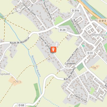
- Walk under the arcades and follow the red and white markings for the GR653, the Way of St James. At the junction, carry on straight ahead onto Place du Boué. Turn right at the far end of the square. At the crossroads, head straight ahead until you reach the end of the street. Turn left and carry on to the junction with Rue des Droits de l’Homme. Cross the road and join the Route de Montbrun (D24). Pass a farmstead, turn left immediately and follow the stony track uphill to a crossroads.
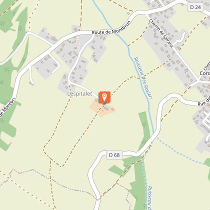
- Leave the red and white GR markings and continue straight on. Walk down to the bottom of the valley, then head back up the opposite side along the hedge to the Pinatel farmstead. There is a possible shortcut to point 4.
-
-
-
5 continued -
Services at the starting point
Car parking
Public toilets
Start and end town
MONTGISCARD
Contact
Website : https://www.sudest-toulousain.fr/
Email : contact@sudest-toulousain.fr
Data producer
Contact : HAUTE-GARONNE TOURISME / COMMUNAUTE D'AGGLOMERATION DU SICOVAL SUD-EST TOULOUSAIN
This information comes from the Haute-Garonne Departmental Tourism Network and is synchronized as part of the partnership between Cirkwi and Haute-Garonne Tourisme.
Data author
