Alert
Alerts
BOUCLE DE NOTRE-DAME DES BOIS
Description
Notes:
- Botanical trail: steep slope, slippery in wet weather; this section is for walkers only.
- Shaded section: 1.4 km trail through the Bois de Notre Dame.
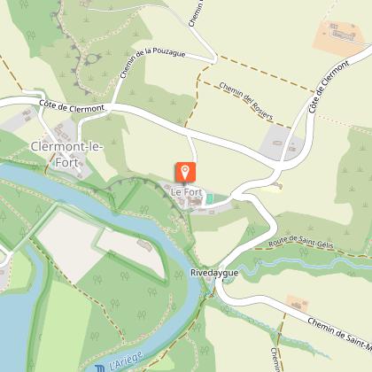
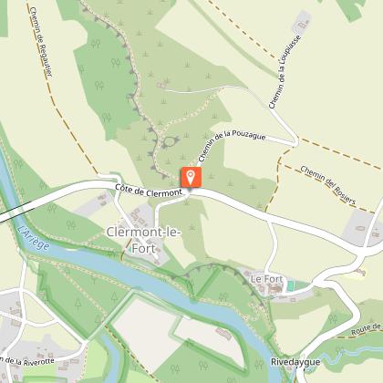
Starting point: Clermont-le-Fort hiking information board, located in the car park.
Route variations for horse riders and mountain bikers:
From the starting point to (1): Take the road running alongside the cemetery. At the crossroads, turn right onto the road leading down towards the Ariège (steep
slope). 300 m further on, turn left (a hairpin bend) onto the path lined with a hedge.
Between (6) and the finish (starting point): along the banks of the Ariège for 300 m). Turn left to head back up towards Clermont-le-Fort. At the junction, turn right onto the road leading to the Fort de Clermont-le-Fort.
Practical advice:
Horse riders: between (3) and (4), a section suitable for galloping, on a stony track (approx. 1.2 km)
Mountain bikers: between (1) and (2), a woodland track (approx. 1.5 km) leading to the Oratory of Notre Dame des Bois; the track is fragile: ride slowly
Technical Information
Altimetric profile
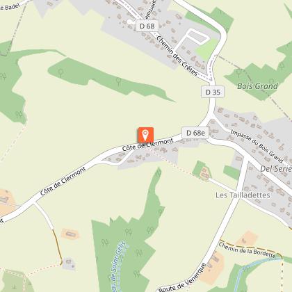
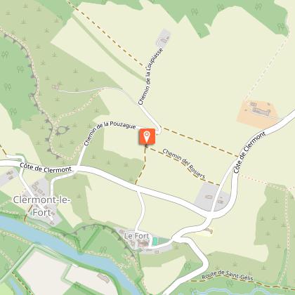
Starting point
Additional information
Signage
Yellow. Signage and directions indicated by signposts. Between junctions, follow the markings.
Detailed stages
- Section reserved for walkers: fragile ecosystem. Mountain bikers and horse riders, please see changes to the route.
Opposite the monumental gate, next to the town hall, take the botanical trail leading downhill (steep slope, slippery path in wet weather).
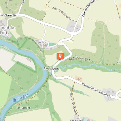
At the junction, leave the path leading down to the hamlet of Les Fraysses on your right and continue straight on to reach the locality known as Rive d’Aygue. Cross the road and walk uphill for 100 m. Turn right onto the path lined with a he...
-
- Head back up and out of the woods. Continue for 50 metres and walk past the Notre Dame des Bois wayside shrine. At the top of the hill, walk past a farm and carry on straight ahead until you reach the D-road. Turn left and take the D 94. At the crossroads, carry on straight ahead along the road that climbs towards the water tower.
-
- Turn left. At a place called ‘Les Oustalets’, follow the track on the left, then continue along the main road to the left. At the top of the hill, take the stony path on the left, lined with a hedge. At the end of the path, turn right. At the bottom of the valley, turn right onto the path that climbs alongside the hedge. Cross the D68e road, step over the ditch onto the cross-beams and take the path that runs alongside the hedge.
- On the road, turn left for 150 metres, then turn right onto a grassy track that runs alongside a property. The path follows the ridge (opposite the castle mound). The track begins to descend to a junction of paths.
Route for walkers only - From (5), at the start of the bend before the descent, turn left between two fields onto the path that climbs slightly, then head downhill alongside a hedge towards the village. Cross the departmental road and head back up the road opposite, which leads back to the starting point.
- Section of the route reserved for walkers: fragile ecosystem. Mountain bikers and horse riders should check for route changes.
Head straight on along the small road leading to the hamlet of Les Fraysses. In the hamlet, turn right then left onto the path leading to the banks of the Ariège. Follow the river upstream (ferryman’s boat), then take the botanical trail along a steep path. At the junction, turn left to reach Fort de Clermont.
- Between (6) and the finish (starting point), turn left to head back up towards Clermont-le-Fort. At the junction, turn right onto the road leading to the Fort de Clermont-le-Fort.
Services at the starting point
Car parking
Start and end town
CLERMONT-LE-FORT
Contact
Website : https://www.sudest-toulousain.fr/
Email : contact@sudest-toulousain.fr
Data producer
Contact : HAUTE-GARONNE TOURISME / COMMUNAUTE D'AGGLOMERATION DU SICOVAL SUD-EST TOULOUSAIN
This information comes from the Haute-Garonne Departmental Tourism Network and is synchronized as part of the partnership between Cirkwi and Haute-Garonne Tourisme.
Data author
