Alert
Alerts
BOUCLE DE MARAVALS
Description
This pleasant walk to the Notre-Dame de Maravals chapel offers numerous panoramic views of the Hers Valley, whilst following a botanical trail that showcases the local diversity of plant life.
Comments:
- Dangerous junctions at point 2 and after point 4: crossing the D 31 road, poor visibility.
- Crossing farmyards – keep dogs on a lead.
- Water points at the cemeteries in Montlaur and Maravals.
- Option to shorten the loop by skipping the two side routes (-2.2 km)
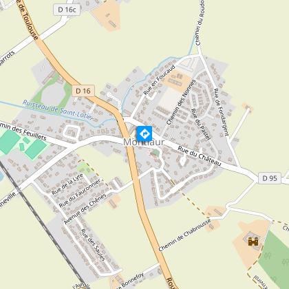
Start: car park at Montlaur Town Hall.
Practical advice for horse riding and mountain biking:
Horse riders: a section suitable for galloping between 2/ and 1/ on the return leg, with a grassy track for 400m. This route is not recommended for the second side trail (steps).
Mountain bikers: for the second detour, dismount at the steps leading to the cemetery.
Technical Information
Altimetric profile
Starting point
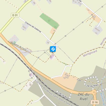
Additional information
Detailed stages
-
-
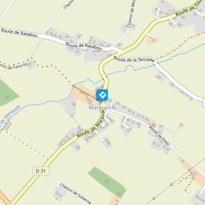
- Carry on straight ahead along the grassy path. Pass a house and turn immediately right to head down to the bottom of the valley. Cross the stream and continue past a farm until you reach a junction with the D31.
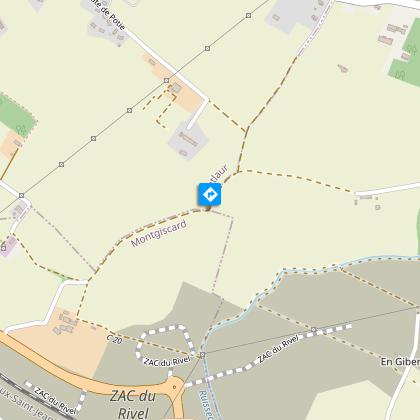
- At the next junction, take the path on the right. Follow it for about 700 metres. At the crossroads, turn right and after 300 metres you will come out onto a road.
There is an option to take a detour to the 14th-century Maravals Chapel, situated on the site of a priory founded in the 11th century; its name, ‘Maravals’, comes from the Occitan language and means ‘bad valley’. The monks who settled here must have cleared the banks of the River Hers, which were overgrown with vegetation, before t...
Diverticulum 2 -
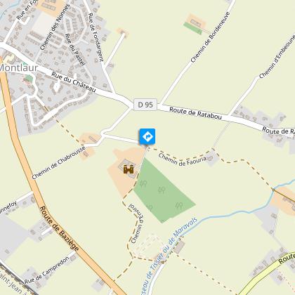
- Follow the road past a house. At the first junction, turn right towards a farm. Walk past the farm building. Continue straight on along the path that goes round the woods. After the woods (view of the old Montlaur mill), carry on until you reach the D31. Cross over (take care at the junction) and turn right for 400 metres to return to the junction (point 2/). Turn left onto the Chemin de Faouria and walk past the farm. Cross the small bridge and head up the grassy track.
4 continued - At the top, turn left onto the path. At the reservoir (point 1), head straight on along the road leading downhill (with views of the Belberaud bell tower, the Pénavayre dovecote and the En Cos mill), then turn left onto the Chabrousse path. After the cottage, turn right and head back down towards the village. Carry on straight ahead to the church and continue on to return to the starting point.
Services at the starting point
Car parking
Start and end town
MONTLAUR
Contact
Website : https://www.sudest-toulousain.fr/
Email : contact@sudest-toulousain.fr
Data producer
Contact : HAUTE-GARONNE TOURISME / COMMUNAUTE D'AGGLOMERATION DU SICOVAL SUD-EST TOULOUSAIN
This information comes from the Haute-Garonne Departmental Tourism Network and is synchronized as part of the partnership between Cirkwi and Haute-Garonne Tourisme.
Data author
