Alert
Alerts
BOUCLE DE LA MARCAISSONNE
Description
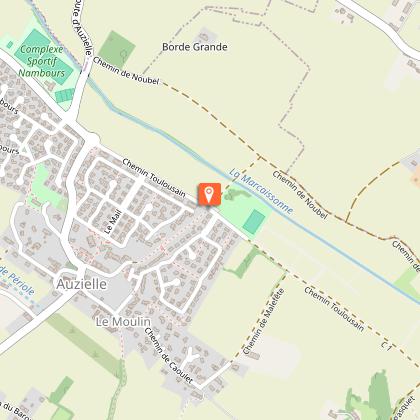
This walk through the Marcaissonne Valley offers the chance to discover or rediscover a landscape typical of the Lauragais region’s extensive farming. On either side of the stream, the path, lined with hedgerows and tall oak trees, offers walkers a peaceful stroll through this wide, flat valley, flanked by steep hillsides. This area is home to the historic ‘Chemin Toulousain’ route.
Comments:
- Few shaded areas
- Muddy walk in wet weather
- Minimal elevation gain
- Water point in front of the town hall
Alternative route: 2 hours 15 minutes, 7.4 kilometres
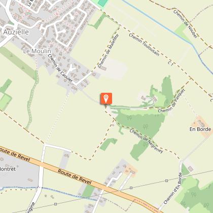
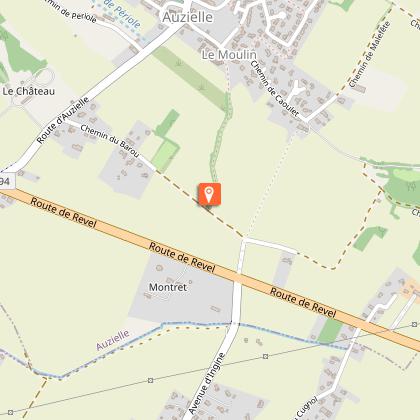
Cross the D94 road and turn left towards the shopping centre. Immediately turn right onto the path that passes in front of the chemist’s and the MJC. Follow the sunken path down alongside a housing estate.
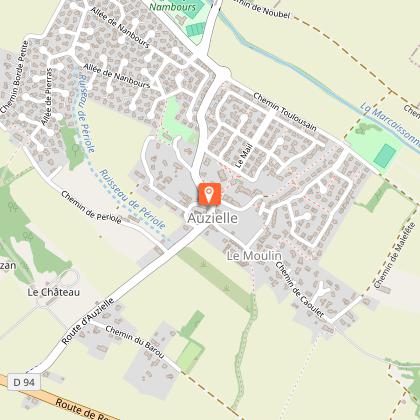
Starting point: Auzielle Town Hall car park, in the centre of the village.
Alternative route:
From point 5), continue straight on along the stony track. At the road, carry on straight ahead. Pass the Chemin de la Croix de Fer on your right. Ride past the Parc du Pigeonnier to reach the church.
Practical advice for horse riders:
Sections suitable for galloping between 2/ and 3/, a track running alongside the Marcaissonne for 1.7 km, and the Chemin Toulousain for 1.3 km.
Technical Information
Altimetric profile
Starting point
Additional information
Elevation gain
(Low)
Detailed stages
-
-
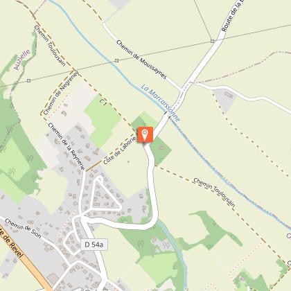
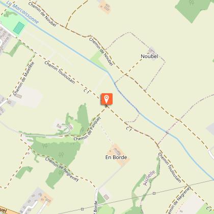
- At the junction, turn right onto the track known as Chemin Toulousain and follow it to the bottom of the valley. Pass the hillside farm on your left and carry on to the next junction.
- From point 5), continue straight ahead along the stony path. When you reach the road, carry on straight ahead. Leave the Croix de Fer path on your right. Walk past the Parc du Pigeonnier to reach the church.
Services at the starting point
Car parking
Start and end town
AUZIELLE
Contact
Website : https://www.sudest-toulousain.fr/
Email : contact@sudest-toulousain.fr
Data producer
Contact : HAUTE-GARONNE TOURISME / COMMUNAUTE D'AGGLOMERATION DU SICOVAL SUD-EST TOULOUSAIN
This information comes from the Haute-Garonne Departmental Tourism Network and is synchronized as part of the partnership between Cirkwi and Haute-Garonne Tourisme.
Data author
