Alert
Alerts
BOUCLE DE LA FOUNT GRANDO
Description
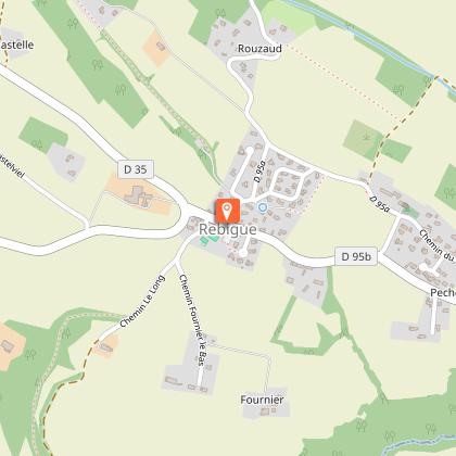
The village of Rebigue, through which the Way of St James passes, invites walkers to explore the Fount Grando fountain, the church dedicated to Saint Lizier, and the orientation point, which offers a magnificent panoramic view of the Pyrenees on a clear day.
Comments:
- Few shaded areas: this route is not recommended in hot weather
- Dangerous junction with the D 95b road
- Damp sections in the woodland
- Several water points near the town hall
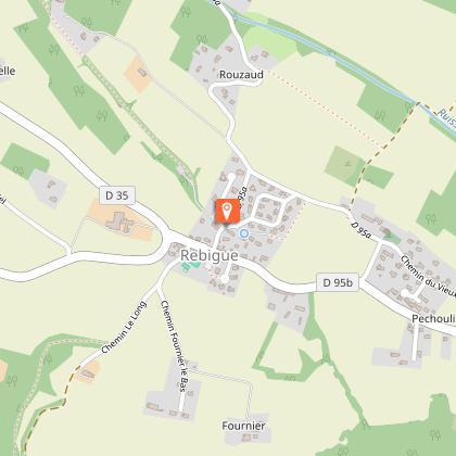
Start: Rebigue Town Hall square. Cross the D95b road and take the Chemin de Croix Blanche opposite.
Practical advice for horse riding and mountain biking:
On horseback: tricky sections over 50 metres after point 5/, two leaning trees in the woodland and sections with railway sleepers: recommended for experienced riders with horses accustomed to trail riding.
By mountain bike: after point 3/, there is a steep slope on the Chemin de Corronsac. From point 5/ onwards, there are wet sections on the track running alongside the Trucopores stream and on the path through the woodland. Take care when crossing roads.
Technical Information
Altimetric profile
Starting point
Additional information
Detailed stages
Start - At the Town Hall square, cross the D 95b road and take the
Chemin de la Croix Blanche opposite.
- Turn right at the bend, continue along Impasse de la Fount Grando and follow the red and white markings of the GR653, the Way of St James. Walk past the Fount Grando fountain. Take the grassy path opposite, cross the small bridge, then turn left to walk up the field, following its edge until you reach a road.
-
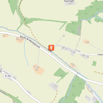
- Cross the road (dangerous junction) and turn right onto Route de la Place. At the next junction, turn left onto the Chemin de Corronsac (with a view of Corronsac Church). Continue straight on for 1.3 km, passing the housing estate, until you reach a junction.
-
- Turn right onto the path that runs alongside the Trucopores stream. At the edge of the field, head towards the small hedge and follow it on your right. Enter the woodland and continue along the path. Cross the stream via the small wooden bridge and head up the sunken path at the edge of the clearing. As you emerge from the woodland, continue along the grassy section to pass to the left of the “Le Long” farm. Carry on along the stony track, then head up the tarmac section to reach the Town Hall.
Services at the starting point
Car parking
Start and end town
REBIGUE
Contact
Website : https://www.sudest-toulousain.fr/
Email : contact@sudest-toulousain.fr
Data producer
Contact : HAUTE-GARONNE TOURISME / COMMUNAUTE D'AGGLOMERATION DU SICOVAL SUD-EST TOULOUSAIN
This information comes from the Haute-Garonne Departmental Tourism Network and is synchronized as part of the partnership between Cirkwi and Haute-Garonne Tourisme.
Data author
