Alert
Alerts
BOUCLE D'EN MAURAN
Description
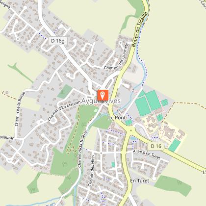
From the En Mauran hill to the banks of the Canal du Midi, this circular walk around the village of Ayguesvives offers sweeping views across the Hers valley. Visitors will, in particular, have the opportunity to explore the châteaux of Ayguesvives and the architectural features lining the canal.
Notes:
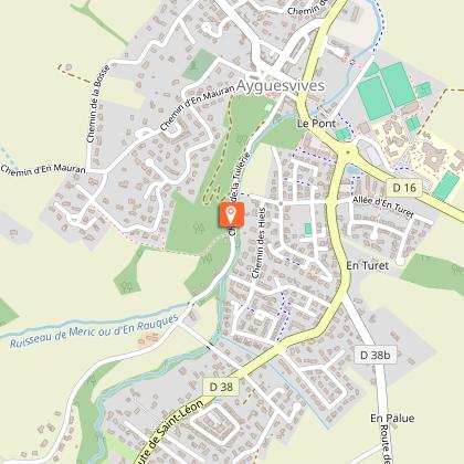
- Steep but shaded climb after point 1/.
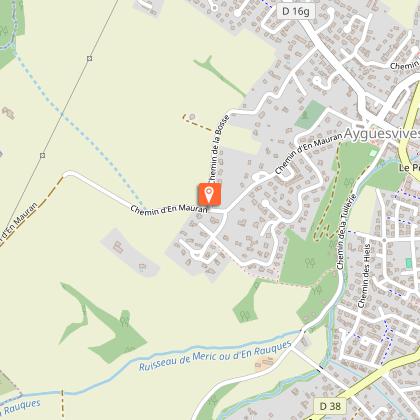
- Steep descent after point 2/.
- Water point and toilets at the motorway service area, 200m past the Sanglier lock along the towpath.
Start: Castle car park, village of Ayguesvives.
Route variation for horse riding and mountain biking:
From the starting point to point 1/, go round the Orangerie on the left and follow the road alongside the park, then past the houses to No. 12.
Route variation for horse riding:
After point 4/, before passing the Ticaille lock, turn right and take the dirt track to cross the Amadou stream, then continue straight on for 1 km. After the second wooden gate, the path veers to the right and leads to point 5/.
Technical Information
Altimetric profile
Starting point
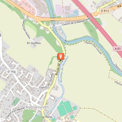
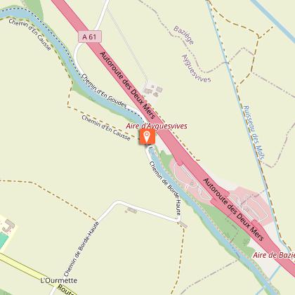
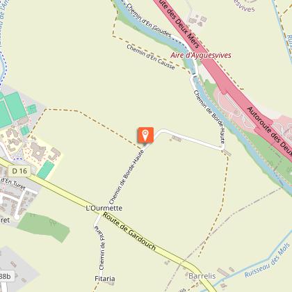
Points of interest
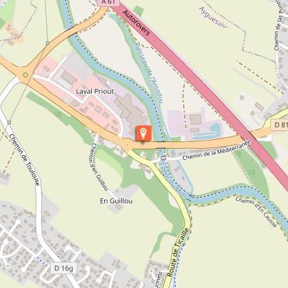
Additional information
Elevation gain
(Low)
Detailed stages
- Take the passageway under the arcades between the château and the Orangerie to reach the public park. Carry on straight ahead. After 300 metres, go down the stairs at the far end of the park on the left, then take the road on the right for 150 metres. Walk past the houses until you reach No. 12.
-
- Turn right and follow the road until you reach the speed bump. Cross over to join the Chemin de la Bedene, then turn left onto the Allée du Château. Go through the Ayguesvives gate and follow the road on the left-hand side until you reach the pedestrian crossing. Cross over and continue in the same direction until you reach a junction of paths.
-
- It is possible to travel along the left bank of the Canal du Midi, on the stretch between the Ticaille and Sanglier locks.
-
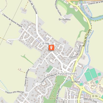
- Turn right and follow the grassy path for 500 metres, then turn left. Walk past the secondary school and follow the road as it bends to the right until you reach the roundabout. Follow the signs for Baziège. Walk past an old castle and take the second street on the left, Chemin de Toulouse, to return to the starting point.
Services at the starting point
Car parking
Start and end town
AYGUESVIVES
Contact
Website : https://www.sudest-toulousain.fr/
Email : contact@sudest-toulousain.fr
Data producer
Contact : HAUTE-GARONNE TOURISME / COMMUNAUTE D'AGGLOMERATION DU SICOVAL SUD-EST TOULOUSAIN
This information comes from the Haute-Garonne Departmental Tourism Network and is synchronized as part of the partnership between Cirkwi and Haute-Garonne Tourisme.
Data author
