Alert
Alerts
Type of practice
Walking
Hard
5h
Presentation
Description
Map
Ratings and reviews
See around
Sommet de Grisonnière (2010 m)
IGN cards

3439ET - SEYNE CHABANON LE GRAND PUY TÊTE DE L'ESTROP
Editor : IGN
Collection : TOP 25 ET SÉRIE BLEUE
Scale : 1:25 000
13.90€
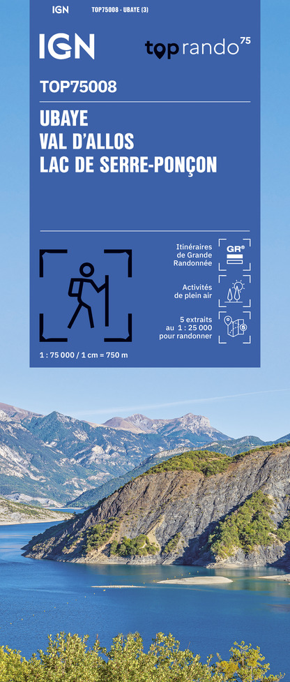
TOP75008 - UBAYE VAL D'ALLOS LAC DE SERRE-PONCON
Editor : IGN
Collection : TOP 75
Scale : 1:75 000
9.80€

TOP100D06 - ALPES-MARITIMES NICE CÔTE D'AZUR PARC NATIONAL DU MERCANTOUR PNR DES PRÉALPES D'AZUR
Editor : IGN
Collection : TOP 100
Scale : 1:100 000
8.40€

TOP100D04 - ALPES-DE-HAUTE-PROVENCE DIGNE MANOSQUE PNR DU VERDON LAC DE SERRE-PONÇON
Editor : IGN
Collection : TOP 100
Scale : 1:100 000
8.40€

D06 ALPES-MARITIMES
Editor : IGN
Collection : CARTES DÉPARTEMENTALES IGN
Scale : 1:150 000
5.90€

D04-05 ALPES-DE-HAUTE-PROVENCE HAUTES-ALPES
Editor : IGN
Collection : CARTES DÉPARTEMENTALES IGN
Scale : 1:150 000
5.90€

NR14 AUVERGNE-RHÔNE-ALPES RECTO/VERSO MASSIF CENTRAL
Editor : IGN
Collection : CARTES RÉGIONALES IGN
Scale : 1:250 000
6.80€

NR16 PROVENCE-ALPES-CÔTE D'AZUR
Editor : IGN
Collection : CARTES RÉGIONALES IGN
Scale : 1:250 000
6.80€

NR15 AUVERGNE-RHÔNE-ALPES RECTO/VERSO MASSIF ALPIN
Editor : IGN
Collection : CARTES RÉGIONALES IGN
Scale : 1:250 000
6.80€

EUROPE
Editor : IGN
Collection : DÉCOUVERTE DES PAYS DU MONDE IGN
Scale : 1:2 500 000
7.00€
Description
A fairly difficult hike through the alpine pastures, discovering ibex and chamois.
Technical Information
Walking
Difficulty
Hard
Duration
5h
Dist.
9.8 km
Type of practice
Walking
Hard
5h
Show more
Altimetric profile
Starting point
Route des béliers
,
04140
Le Vernet
Lat : 44.277579Lng : 6.397151
Additional information
Environments
In the country
Forest location
Mountain view
Mountain location
Village 2 km away
Panoramic view
Presence of livestock and guard dogs
Updated by
Office de Tourisme Provence Alpes Digne les Bains - 24/11/2025
www.dignelesbains-tourisme.com
Report a problem
Contact
Phone : +33 4 92 35 11 00
Type of land
Stone
Ground
Animals
Yes
Data author

Ratings and reviews
To see around