Alert
Alerts
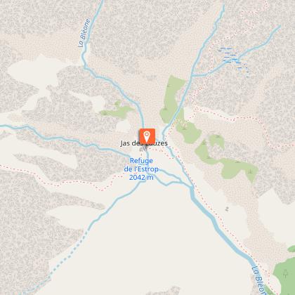
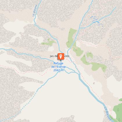
Refuge de l'Estrop

Description
After having exceeded the upper limit of the larch and crossed the Pas de la Piche, you will discover the Roger Carle refuge, a stage allowing you to reach the highest point in the Dignois region: 2961m. Departure from the car park in Prads-Haute-Bléone.
From the Lac des Eaux Chaudes car park, the route follows the access track to the hamlet of La Combe, then a path that rises in the forest before crossing several avalanche corridors. The efforts made to cross the Raidillon des Revaux are largely rewarded by the beauty of the landscapes provided by the Piche waterfall and the outlet into the Estrop circus, with the refuge visible in the distance.
Technical Information
Altimetric profile
Starting point
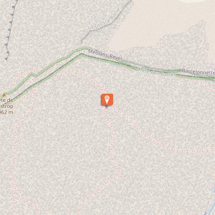
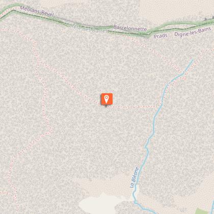
Steps


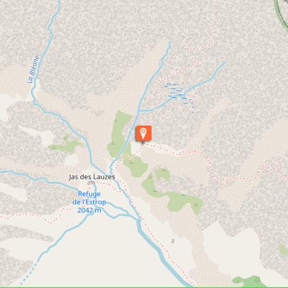
Points of interest

Additional information
Environments
Mountain view
Panoramic view
Mountain location
Waterfall view
Updated by
Office de Tourisme Provence Alpes Digne les Bains - 05/06/2026
www.dignelesbains-tourisme.com
Report a problem
Distinctions
Listed PDIPR
Contact
Phone : 04 92 36 62 62
Type of land
Rock
Ground
Grit
