Alert
Alerts
THE UPPER CANNER VALLEY
Description
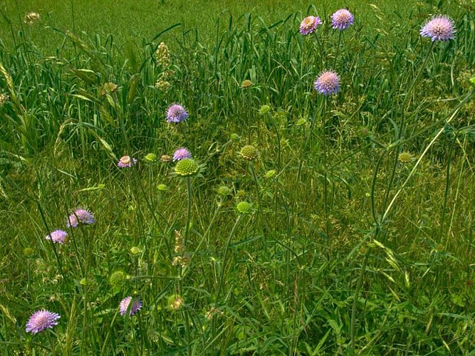
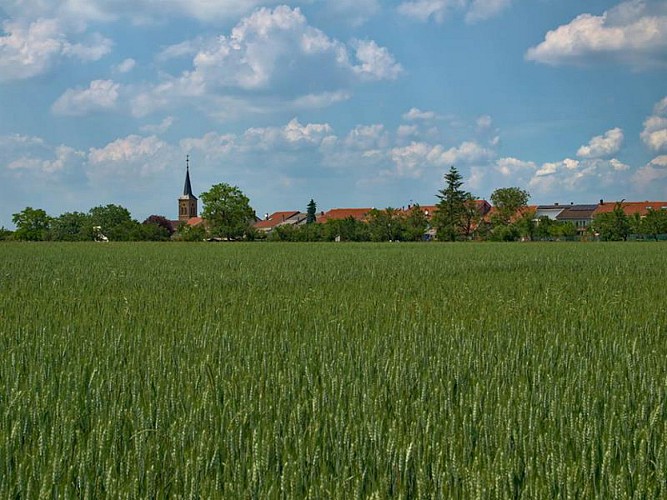
This walk invites you to discover the Haute Vallée de la Canner, a listed natural site, recognised for its landscape qualities and rich heritage.
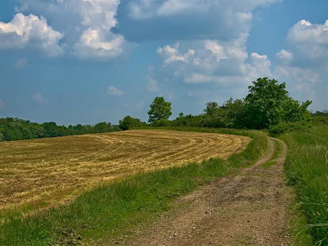
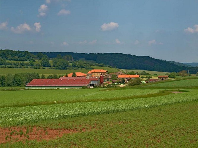
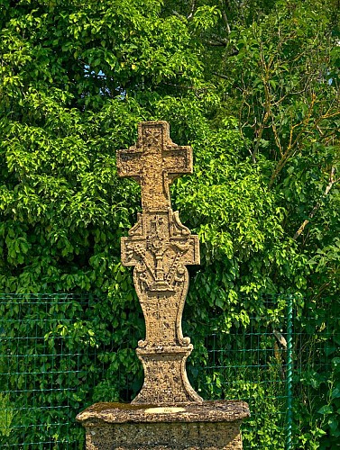
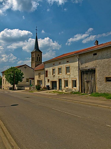
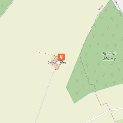
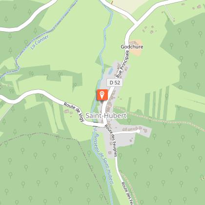
Starting from the village-street of Altroff, where the view extends over the valley, the route leads gradually into the forest to the fortified farm of Neudelange. There, you will take the GR5 path in the footsteps of the pilgrims of Santiago de Compostela. When you arrive in Saint-Hubert, you will leave on your left the old marshy valley at the bottom of which the monks built the abbey of Villers-Bettnach, to go back up by the path of the dead which was formerly used to bring the dead of Saint-Hubert to the cemetery of Altroff.
Technical Information
Altimetric profile
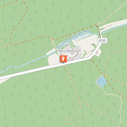
Starting point
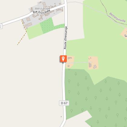
Points of interest

Additional information
Producteur de la donnée
Ces informations sont issues de la plateforme SITLOR - Système d’Information Touristique - Lorraine
Elles sont synchronisées dans le cadre du partenariat entre Cirkwi, l’Agence régionale du Tourisme Grand Est et les membres du comité technique de Sitlor.
Data author
