Alert
Alerts
Type of practice
Walking
Easy
Presentation
Description
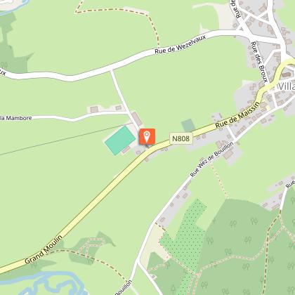
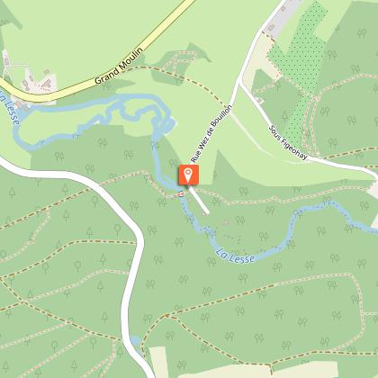
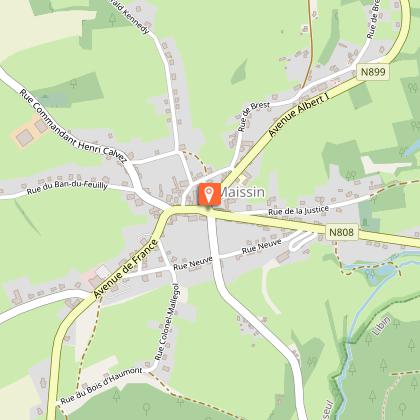
Map
Points of interest
Ratings and reviews
See around
Promenade des Ponts


Credit : ©MTFSH TEXTO Pascal Willems
Description
An 8.1 km walk from the village of Villance.
This signposted walk is listed on the Libin walking map, available for €8 from the Maison du Tourisme de la Forêt de Saint-Hubert, the Libin tourist office and the Libin municipality.
Beacon: yellow horizontal rectangle
Technical Information
Walking
Difficulty
Easy
Dist.
8.1 km
Type of practice
Walking
Easy
Show more
Altimetric profile
Starting point
Grande Fontaine
,
6890
Villance
Lat : 49.97089Lng : 5.2209
Points of interest


Additional information
Code signalétique
N°1
Signalétique (EN)
Pedestrian - Horizontal rectangle - Yellow
Data author

proposed by
Maison du Tourisme de la Forêt de Saint-Hubert
15 Place du Marché 6870 Saint-Hubert Belgique
Ratings and reviews
To see around