Alert
Alerts
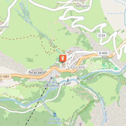
The letter carrier's path
IGN cards


Description
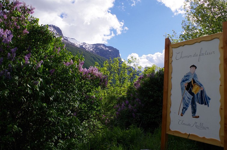
Until the 1970s, the letter carrier made his rounds on foot. Follow in his footsteps along the GR54 trail from La Grave to Le Chazelet. Your path will be embellished by painted flower "stamps" that the letter carrier may have lost along the way.
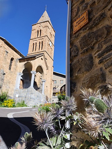
From the La Grave tourist office, walk up through the village towards the church, leaving it on your left, and continue straight on uphill, passing the last houses until you come across the first painted sign illustrating "le facteur".
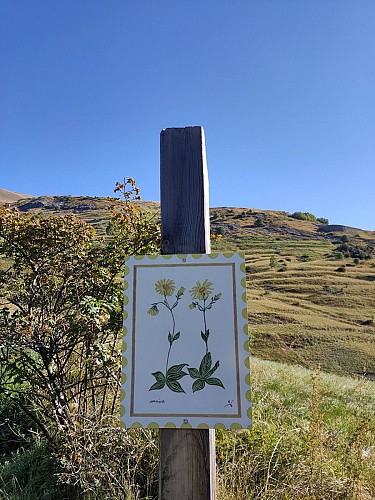
At the first little hairpin, you should already have discovered three small panels explaining the following plants: "Centaury", "Yellow Foxglove" and "Aster". Continue along the steep path in front of you, cutting across the next hairpin.
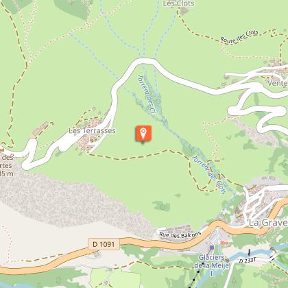
You're now on the GR54 path up the "Champs Lombards" to the village of Les Terrasses.
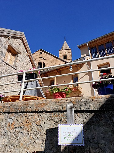
Once you've reached the foot of Les Terrasses village, take the small path in front of you (not on the right). Pass the "Le Bleuet" house and continue up the street through the village. Look out for 5 small signs. Continue past the "Saint Matthieu" church, then cross the road to take the small path to the right of the fountain.
Once at the top of the path, you'll take a short stretch of road, and at the first fork in the road on your right, pick up the path again to go behind the house above the cemetery.
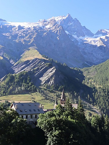
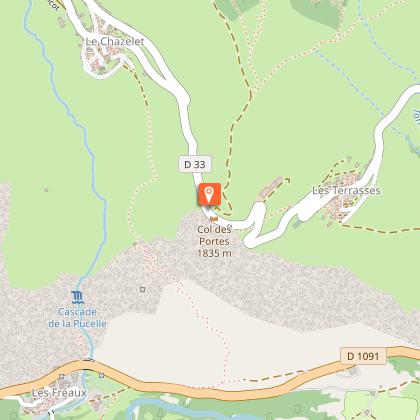
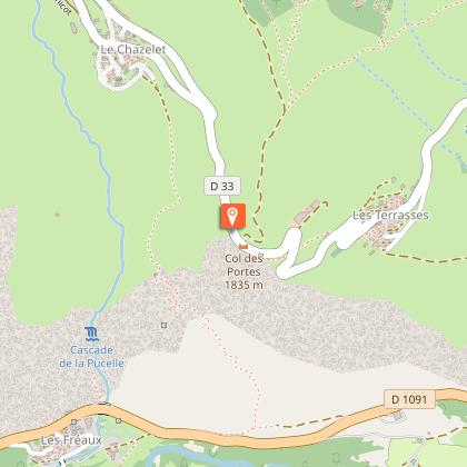
Cross the road again to pick up the path in front of you. You're now at the Col des Portes at 1835m, where you'll find the Oratoire du Chazelet and the Perchoir.
Take the road down towards the village of Le Chazelet, and at the next junction keep to the left. The last small signpost is opposite the "Relais d'Emparis".
From Le Chazelet, return down the same path or via the chapel of Notre Dame de Bon Repos.
Technical Information
Altimetric profile
Starting point
Steps
Additional information
Updated by
Office de tourisme des Hautes Vallées - La Grave - La Clarée - L'Izoard - 07/08/2025
www.hautesvallees.com/la-grave/
Report a problem
Open period
From 15/05 to 30/11 daily.
Subject to favorable snow and weather conditions.
Contact
Phone : 04 76 79 90 05
Email : lagrave@hautesvallees.com
Website : https://www.hautesvallees.com/la-grave/
Type of land
Ground
Not suitable for strollers
Animals
Yes. Dogs must be kept on a leash in the vicinity of herds and animals.
Data author
