Alert
Alerts
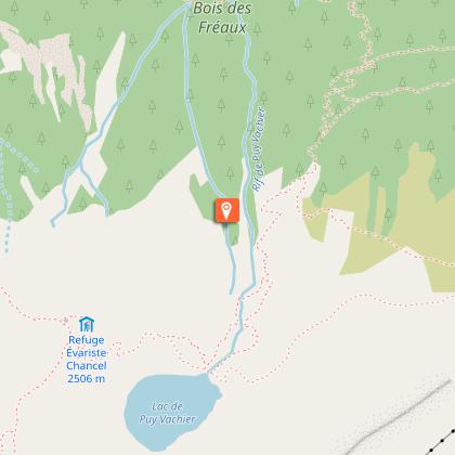
The Évariste Chancel refuge from La Grave
1 alert on this circuit
Alerte visiteurs
Itinéraire potentiellement soumis à de forts dégâts dus à des évènements météorologiques majeurs et dont la viabilité peut être incertaine, renseignez-vous avant de vous engager sur ce parcours.


Description
A hike with the goal of a lake and a mountain hut is a godsend! You can enjoy the tranquility of the Puy Vachier Lake, a 120 m below the lake, before getting refreshments at the scenic terrace.
A beautiful varied hike in a splendid setting at the foot of the mythical summit of La Meije. The Puy Vachier Lake with its beautiful colors is an oasis in the middle of this rather rocky universe. And then there's the panorama on the valley of La Grave and the Romanche River!
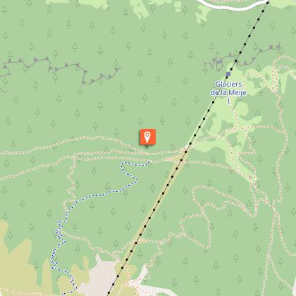
At the parking lot in front of the La Grave gondola lift, take the stairs leading down towards the river, cross the bridge and take to the left. Take the path leading up to the left along the left bank of the stream coming down from the Tabuchet Glacier.
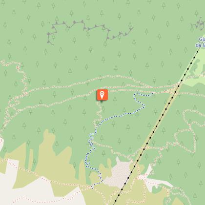
At the junction, take to the right, head down towards the Abéous stream, cross the bridge and continue up through a beautiful larch forest and through several clearings.
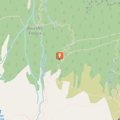
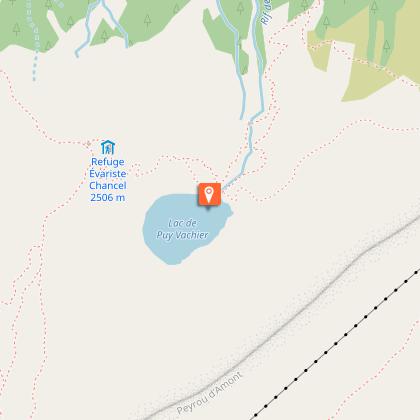
At the junction next to the Puy Vachier Supérieur Chalet, take to the right. A the next junction, keep going forward ignoring the path on you right leading down to the Fréaux (steep and difficult path).
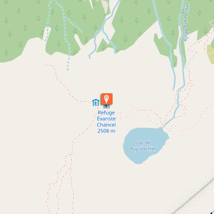
At the Puy Vachier Lake, take to the right for the last climb up to the hut.
It is also possible to reach the Chancel Hut with less effort, starting from the mid-station of the Téléphérique de La Grave (open from mid-June to mid-September).
Technical Information
Altimetric profile
Starting point
Steps
Additional information
Environments
Lake view
Mountain location
Village 2 km away
Close to GR footpath
Updated by
Office de tourisme des Hautes Vallées - La Grave - La Clarée - L'Izoard - 23/10/2025
www.hautesvallees.com/la-grave/
Report a problem
Open period
Accessible from June to September, depending on weather and snow conditions.
Contact
Phone : 04 76 79 90 05
Email : lagrave@hautesvallees.com
Website : https://www.hautesvallees.com/la-grave/
Animals
Yes
Data author
