Alert
Alerts
Rochers de Servières

Description
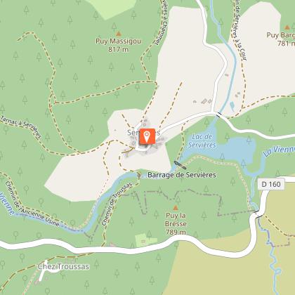
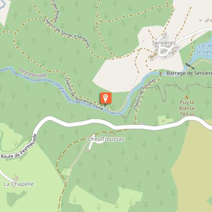
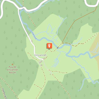
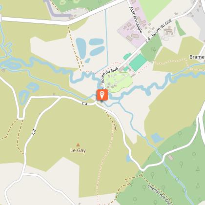
A circuit marked by water and granite: after discovering the lake of Servières (first dam on the Vienne) and crossing the village of the same name, the walk leads you to the rocks of Servières. Erosion has sculpted these strange blocks of granite, where the Vienne River flows into the gorges. You then follow a Roman road to go along the lake and go up in the state forest of Chamboux. On the way back, you can admire the bridges of Vinzannet, the Luguet mill, the Rebière Nègre peat bog and finally the Mouton cross.
Technical Information
Altimetric profile
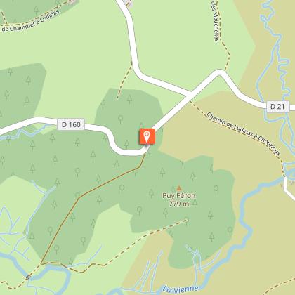
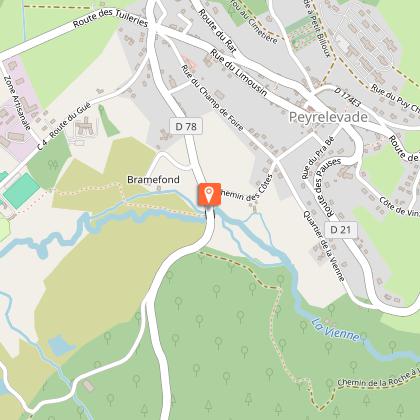
Starting point
Steps

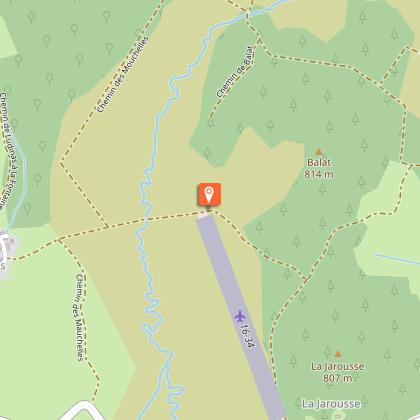
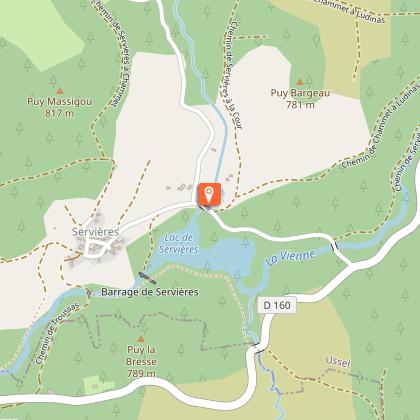


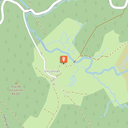

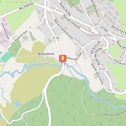
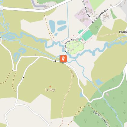
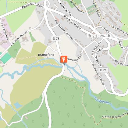
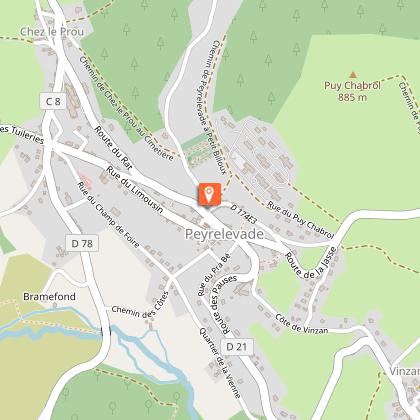
Points of interest


Additional information
Contact
Fixed telephone : 05 19 60 00 30
Web site (URL) : www.tourisme-hautecorreze.fr
e-mail : accueil@otc-haute-correze.fr
Typologie de l'itinéraire
Loop
Thèmes
Natural
Balisage
Yellow
Durée moyenne de l'expérience
Over 4 hours
Data author
