Alert
Alerts
De la Diège à la Vienne

Description
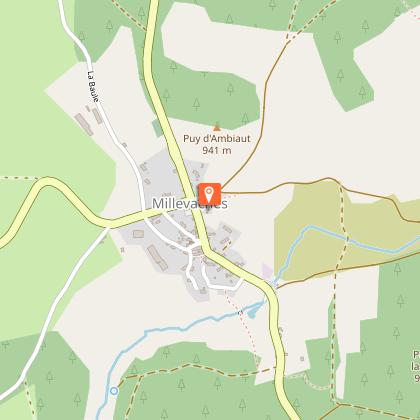
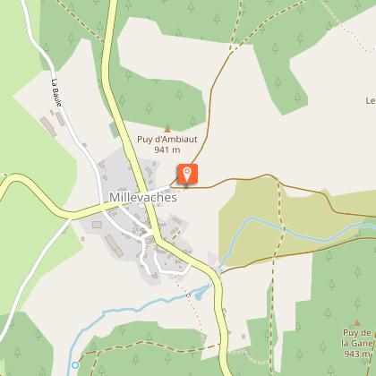
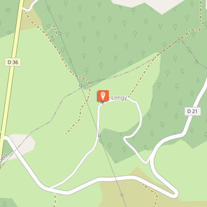
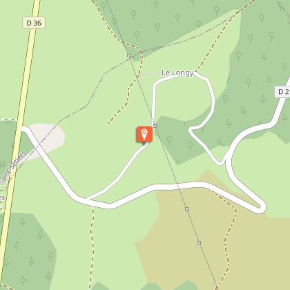
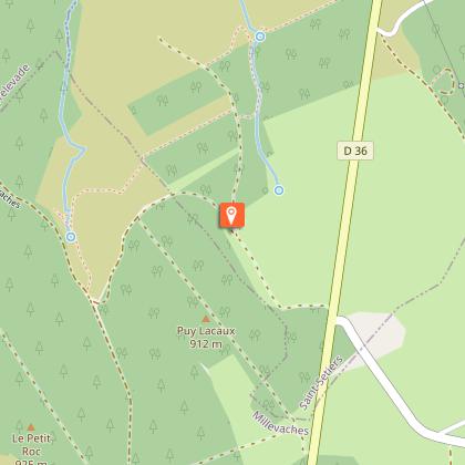
Millevaches gave its name to this high plateau of granite and springs of the Massif Central as well as to the regional natural park Millevaches en Limousin. This hike leads us on the watershed between the two watersheds of the Garonne and the Loire: indeed, the Diège (which joins the Dordogne and then the Garonne) and the Vienne (which flows into the Loire) have their source nearby. The first part of the hike offers magnificent views through heather moors. On the way back, two small hooks allow you to discover two of the sources of the Vienne river.
Technical Information
Altimetric profile
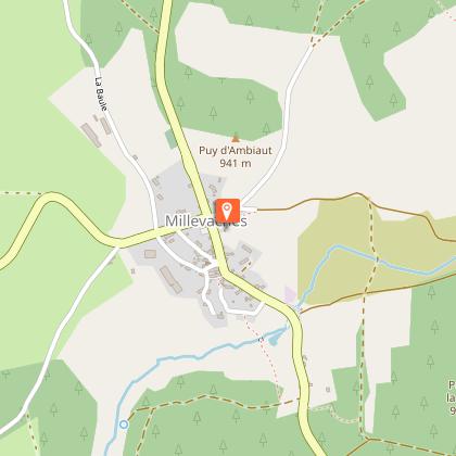
Starting point
Steps

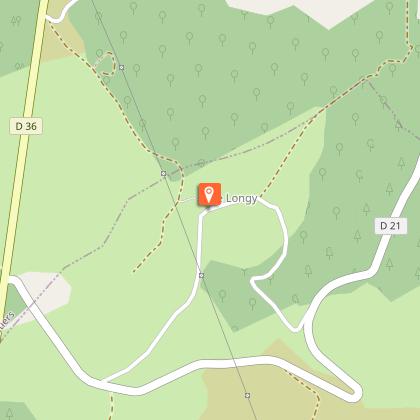


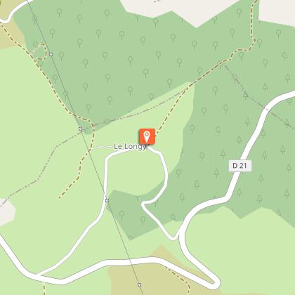
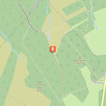
Points of interest
Additional information
Contact
Fixed telephone : 05 19 60 00 30
Web site (URL) : www.tourisme-hautecorreze.fr
e-mail : accueil@otc-haute-correze.fr
Typologie de l'itinéraire
Loop
Thèmes
Natural
Balisage
Blue
Durée moyenne de l'expérience
Over 4 hours
Data author
