Description
Map
Ratings and reviews
See around
Haute Roche
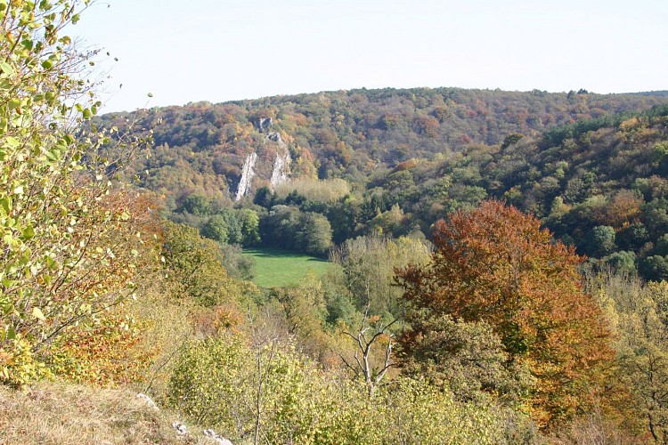
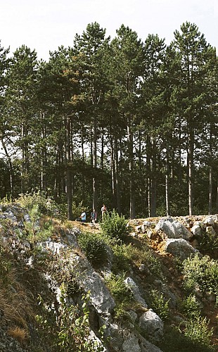
Credit : M.Jottrand
Description
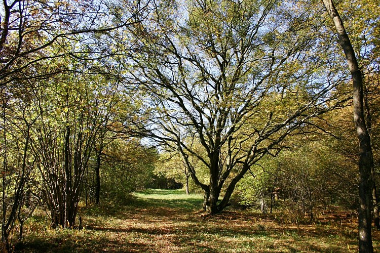
The route to the south of the picturesque village of Dourbes takes you by the ruins of the Château de Haute Roche that dates back to the 14th century. Perched at the top of a spur of chalk, this little fortress has a gate flanked by two turrets and a drawbridge. It was destroyed in 1555 during the war between Charles V and Henry II. This site is mainly covered in forest with oak trees and hornbeams that especially like chalky soil.
Technical informations
This circuit was updated on: 03/12/2023
6 km
|
max. 237 m
min. 150 m
| |||
Styles : In the countryIn townForest | ||||
Altimetric profile
Starting point
40
Rue de Fagnolle
,
5670
Dourbes
Lat : 50.09097Lng : 4.59213
Additional information
Signalétique (EN)
Pedestrian - Rectangle with inlay - Blue
Data author

proposed by
Maison du Tourisme Pays des Lacs
99, route de la Plate Taille 6440 Boussu-lez-Walcourt Belgique
Ratings and reviews
To see around