Alert
Alerts
Circuit of the two summits
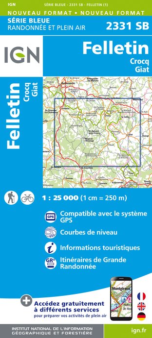
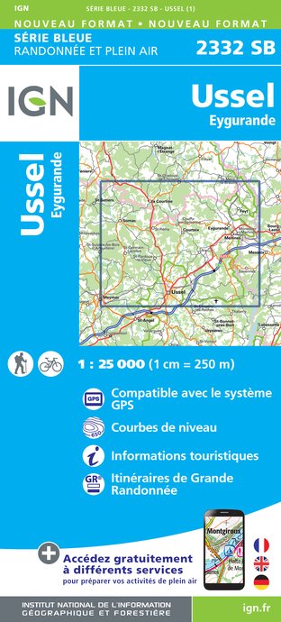
IGN cards


Description
There are two summits on the menu but no real climbs.Park at the Croix de Barbe crossroads. Take an earth path opposite the hut. Continue always straight ahead.At the high point sign, walk back to the small cement marker that marks this point. Continue straight ahead. At the junction with variant 1, take a 200 m round trip. For the panorama over the Auvergne mountains. The path becomes a track; turn left at the next crossroads to reach Chez Bouchet.Take the road to the left and then, at the end of the meadow, take the track to the right. At the next crossroads, a path to the right leads up into the woods. Ignore a trail on the left. Go around the meadow to the right to reach the road. Turn left onto it and go up to the four trees crossroads, Croix des Quatre Arbres.Follow the track to the right; pass by two paths on your left and reach the Puy du VareyronTake the grassy path behind the orientation table. Turn right onto the track. Follow it for 400 metres, then turn left onto a path. Cross the track to return to the path. Follow it straight ahead to a tarmac track. Turn left onto it. At the next crossroads, follow the road to the right, which returns to the starting point.
Technical Information
Altimetric profile
Starting point
Steps
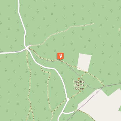
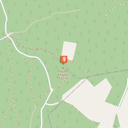

Points of interest


Additional information
Advised parking
La Croix de Barbe clearing, St-Oradoux de Chirouze
Advice
There are two shortcuts on this route, which are described in a specific description. Shooting takes place regularly close to the military camp at La Courtine. Don't worry; it only happens inside the military compound.
Access
From La Courtine, follow the D996 towards St-Oradoux. For 6 km. Then follow the Route Forestière for 2 km. The circuit starts at the Croix de Barbe clearing.
Ambiance
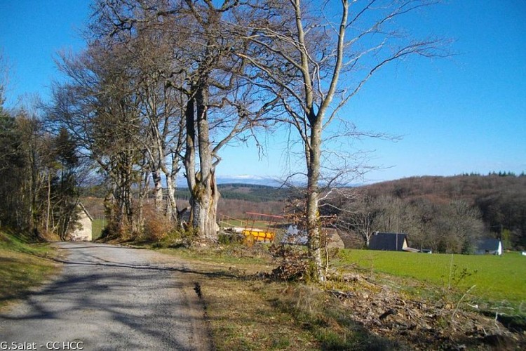
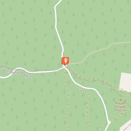
Head for the Puy des Chaires, the highest point in the Creuse, then the Puy du Vareyron, going through two of the iconic forest massifs in the Millevaches Natural Park in Limousin: the Châteauvert forest and the Massif des Agriers. With an exceptional view of the Monts d'Auvergne.
Arrival
La Croix de Barbe clearing, St-Oradoux de Chirouze
Departure
La Croix de Barbe clearing, St-Oradoux de Chirouze
