Alert
Alerts
The three villages


Description
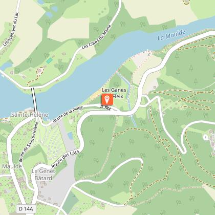
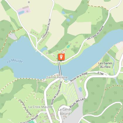
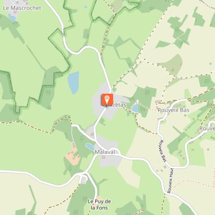
Explore the circuit of the three villages by following the Maulde valley (a Natural area of ecological interest, flora and fauna).At the stop sign, go through the fairground towards the cemetery. Take the street that passes in front of the cemetery and walk along it until you reach the next crossroads.At the crossroads, continue straight ahead and, 50 m further on, take the trail that descends into the woods as far as the D16.When you reach the road, go straight ahead towards the beach at Bujaleuf. Be careful when crossing! Continue on the road along the beach and go to the Saint-Hélène bridge.Cross the bridge when you get to it.After the bridge, take the road on the right towards Cheissoux (V3). Follow the road for about 1 km.Take the path that goes to the left.At the crossing, continue the path on the right and continue until you reach the road of the village of Rouveix-Haut.At the road, turn right and take it for 250 m and take the path that goes down on the left.At the intersection, take the path on the left. At the next intersection, continue on the path to the right and follow it until you reach the hamlet of Rouveux-Bas. Go through it on the road.Take the path on the right and follow it to the hamlet of Chazetas. In the hamlet, take the road to the left and go down to the hamlet of Malaval.At the crossroads in the hamlet, take the road to the left and follow it for 500 m.At the top of the hill, take the path that goes the furthest to the right and follow it until you reach a crossroads.At the crossroads, take the path on the left and go by the house of Bospertus. Follow the avenue of oaks until you reach the Bujaleuf road.When you reach the road, go along it to the right and continue alongside the lake. Go across the bridge. Take the road, which rises sharply to the right.At the stop sign, turn right to return to the starting point.
Technical Information
Altimetric profile
Starting point
Steps
Additional information
Advised parking
Car park at Place du Champ de Foire
Public transport
Gare de Châteauneuf Bujaleuf (6km)Gare à Eymoutiers (15 km)Gare à Saint-Léonard-de-Noblat (16 km)
Access
From Limoges, take the D941 towards Saint-Léonard-De-Noblat. In Saint-Léonard, take the D13, then the D14 towards Bujaleuf. From Eymoutiers, take the D14 towards Bujaleuf.
Ambiance
The circuit of the three villages is 11.5 km long. You will meet protected species (fauna and flora) such as the White-throated dipper and the Purple foxglove and many other surprises awaiting you on the way!
Arrival
Church Square, Bujaleuf
Departure
Church Square, Bujaleuf
Data author
