Alert
Alerts
The Fauge Valley
Description
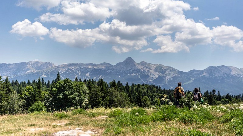
A condensed landscape of the Vercors: rocky barrier with the ridges of the Gerbier, meadows, ridges and forests.
A snapshot of the Vercors landscape: a rocky barrier featuring the Gerbier ridges, meadows, ridges, and forests
Technical Information
Altimetric profile
Starting point
Points of interest
Additional information
Distinctions
Listed PDIPR
Famille Plus
Tips for the photographer
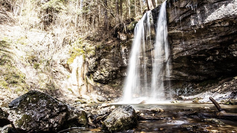
The Fauge Waterfall, frozen in winter, is definitely worth a visit!
Updated by
Office Municipal de Tourisme de Villard-de-Lans - 09/08/2026
www.villarddelans.com
Report a problem
Environments
Close to GR footpath
Forest location
Mountain view
Presence of livestock and guard dogs
Mountain location
Close to a public transportation
Open period
All year round daily.
Contact
Phone : 04 76 95 10 38
Email : info@villarddelans.com
Website : http://www.villarddelans.com
Topo guides and map references
Topo guides references :
Carto-guide PNRV des 4 Montagnes
Map references :
TOP 25 IGN 3236
Type of land
Stone
Ground
Not suitable for strollers
Location complements
Public transportation—Villard de Lans Bus Station stop: Car Région bus lines T64/65 (to/from Grenoble) and T66.
To get to the trailhead, park in the village center at the Mure Ravaud or Fichetaire parking lots and walk to the Tourist Office.
Reception complements
Choose your gear based on your skill level and the weather. Do not go off the trails.
Guidebook with maps/step-by-step
When you leave the Office, turn right and head toward Place de la Libération. On your left, take the pedestrian street and continue straight ahead to the École des Laiches; walk alongside it until you reach
the fork in the road. There, the hiking trail begins; follow the sign for Pont de l’Amour. Once you reach the bridge, cross it, turn left, and follow the signs for “Cascade de la Fauge.” After a short climb and a few hundred more meters, turn
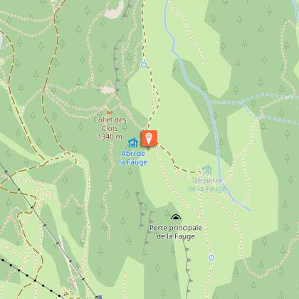
left to see the waterfall. Retrace your steps to continue through the La Fauge valley. Follow the signs for “Abri de la Fauge” and admire the scenery—it’s so beautiful!
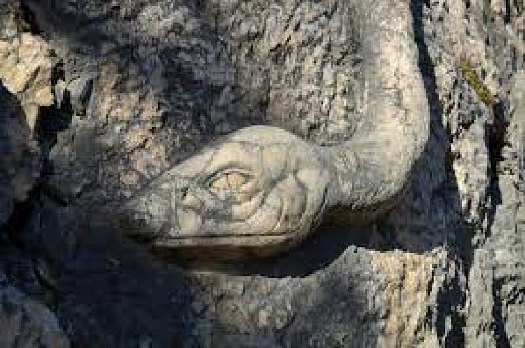
At the Abri de la Fauge (note the dry toilets), head back toward La Cote. The trail winds into a small valley; have fun trying to spot the snake carved into
the rock (halfway along on the right). At the Aversin intersection, turn right and rejoin the “return to village” ski trail. Head down to the hamlet of Les Clots and admire its architecture, typical of the Vercors region. Head back up to the right toward La Fauge and follow the same path you took on the way there.
Animals
Yes
Data author
