Alert
Alerts
La Source de Combe Renard
IGN cards


Description
Shaded for the first half of the trail, it offers a fine view over the entire Vaïre valley. It then joins a forest track along which the spring will cool you down a little.
Leave the village on the Pré Martin road. Just before the parking lot for the Le Pré Martin chalet village, turn left onto the road and then immediately right onto the path behind the house. The route climbs up through the undergrowth to reach the clearing of the Palluy gite.
Once again, you're under cover until you reach a forest track. Take this to the right. Leave the track and go right down a path that leads to the Colle Basse road, which takes you back to the village.
Technical Information
Altimetric profile
Starting point
Additional information
Environments
Close to a public transportation
TER stop (regional train) within 500 m
Updated by
Office de Tourisme Intercommunal Verdon Tourisme - 29/10/2025
www.verdontourisme.com
Report a problem
Contact
Phone : 04 92 83 23 03
Email : contact@verdontourisme.com
Website : https://www.verdontourisme.com
Topo guides and map references
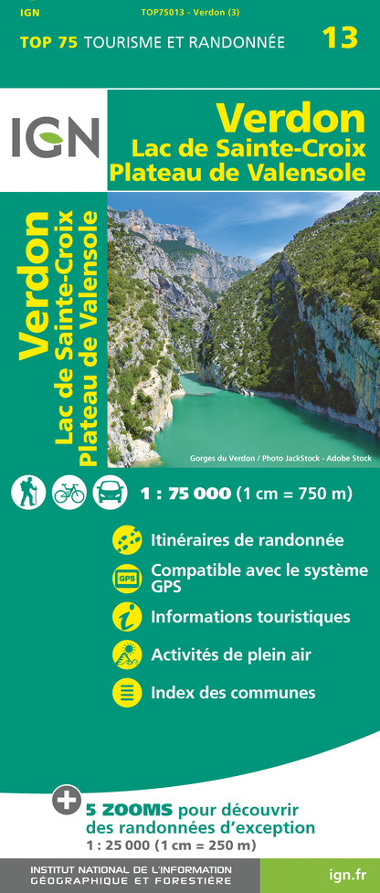
Map references :
IGN Top 25 3541 OT and Verdon Tourisme map "21 hikes around Annot".
Animals
Yes
