Alert
Alerts
From one bank of the Gresse to the other - Cycling path n°6
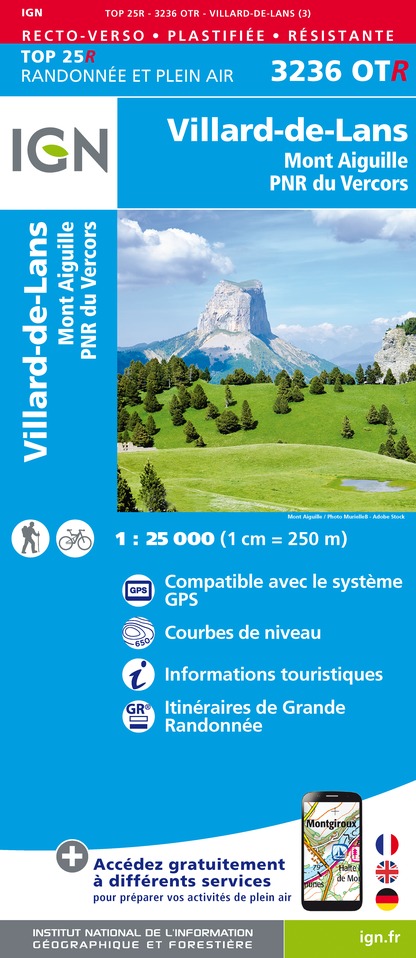
IGN cards


Description
Covering the roads of the northern Trièves region, this
loop takes you on either side of the Gresse river.
the Gresse river. Your calves are in for a real treat with the ascent of the Col de l'Arzelier from the Saillants du Gua!
Technical Information
Altimetric profile
Starting point
Additional information
Updated by
Office de Tourisme du Trièves - 07/08/2025
www.trieves-vercors.fr
Report a problem
Tips
You'll find everything you need for minor repairs at every Tourist Office branch.
Open period
All year round.
Subject to favorable weather.
Contact
Phone : 04 82 62 63 50
Email : contact@trieves-vercors.fr
Website : www.trieves-vercors.fr
Facebook : www.facebook.com/trieves.vercors?ref=hl
Location complements
SNCF Line 63 GRENOBLE-VEYNES-GAP (Monestier station)
Type of land
Hard coating (tar, cement, flooring)
Tricky passages
Follow the RD1075 with heavy traffic for 2km before turning left towards "Les Benais". Take care!
Animals
No
