Alert
Alerts
Brouffier lake by way Bonniot.
IGN cards


Description
Set off to conquer Lac du Brouffier, a wild mountain lake with crystal-clear water.
The entire route offers breathtaking panoramic views. On the way back via the Côte des Salières, you'll feel like you're walking above Grenoble, almost flying!
Lac du Brouffier – A Picture-Perfect Mountain Hike
Lac du Brouffier is everything you could wish for in a mountain lake: crystal-clear water, pristine surroundings, and exceptional views. The perfect recipe for a memorable hiking adventure! On the way back via the Côte des Salières, you’ll be rewarded with a breathtaking 360° panorama: walk seemingly above the city of Grenoble, spread out just below your feet, and take in stunning views of the surrounding massifs — Obiou, Grand Serre, Vercors, Chartreuse, and Belledonne. A hike you’ll never forget!
Route:
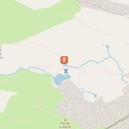
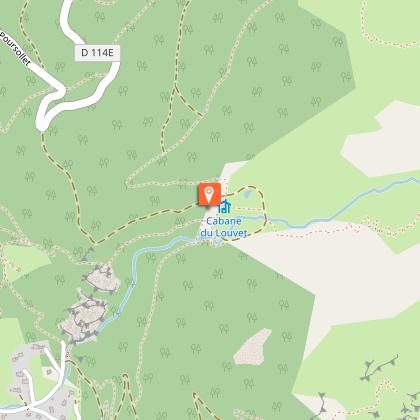
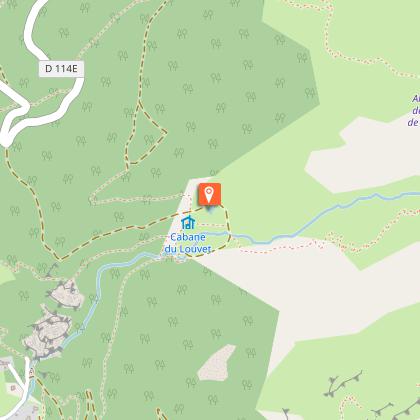
From the resort, take the road to Lac du Poursollet. After about 4 km, park at the fourth hairpin turn. From there, take the flat path to the right named Bonniot (marked with a no-entry sign). This trail leads to the Cabane du Louvet (once home to wolves) and the tiny Lac de Prévourey. At the cabane, continue straight ahead — the path to Lac du Brouffier is also signposted to the left; this will be your return route.
Cross the valley towards the end of the combe. A determined path climbs along the stream’s axis. As the slope eases, the trail approaches and crosses the stream. A few switchbacks on the opposite bank lead you up the lake’s natural threshold, finally arriving at its outlet after a last traverse to the right. For the descent, follow the path along the left side of the lake (you’ll see it clearly) and veer toward a small cabin marking the start of the return trail. Climb slightly, then descend to the hiking signpost Les Fontenettes. From there, turn left in the direction of Cabane du Louvet and Lac de Prévourey.
Important!
You are hiking in a protected natural area. Please stay on marked trails, keep dogs on a leash, do not light fires, and carry your waste back with you or to the nearest bins. Respecting and preserving this environment is essential!
Looking to swim? Use the designated lake in the heart of the resort.
Technical Information
Altimetric profile
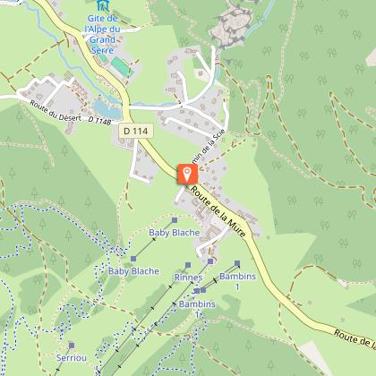
Starting point
Points of interest

Date and time
- From 01/06/2026 to 15/11/2026
Additional information
Open period
From 01/06 to 15/11 daily.
Subject to snow conditions.
Updated by
Matheysine Tourisme - 21/09/2025
www.matheysine-tourisme.com/
Report a problem
Contact
Phone : 04 76 56 24 72
Email : ags@matheysine-tourisme.com
Website : www.matheysine-tourisme.com/fr/alpedugrandserre/
Facebook : www.facebook.com/alpedugrandserre/
Type of land
Stone
Ground
Not suitable for strollers
Location complements
Access to the Trailhead – Bonniot Path (Lac du Brouffier)
Take the Route du Poursollet:
If you're coming from Grenoble: Take the first road on the left just after the entrance sign “ALPE DU GRAND SERRE.”
If you're coming from La Mure: Drive through the entire village. At the very top of the road — just before it starts to descend toward Séchilienne — turn left onto the Route du Poursollet.
Follow this road uphill until you reach the fourth hairpin turn, where there is space to park.
The Bonniot path starts right from the inside of the bend.
Topo guides and map references
Topo guides references :
CARTO-GUIDE LA MATHEYSINE
Map references :
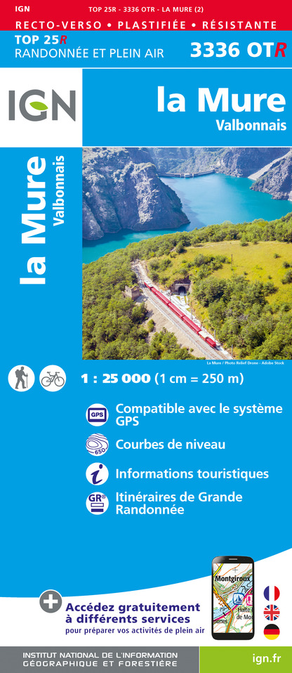
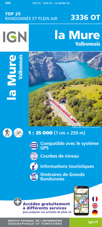
TOP 25 IGN 3336 OT LA MURE VALBONNAIS
Tricky passages
Fairly steep and often rocky descent (due to water runoff and snowmelt) between Côte des Salières and Les Fontenettes (about 800 m).
Animals
Yes. Dogs must be kept on a leash.
Please note: this hike crosses alpine pastures with shepherds and patous (livestock guardian dogs). Be sure to follow these important guidelines:
Always close gates behind you and respect the shepherd’s hut.
Avoid walking through the flock – go around it to avoid dis
Data author
