To see around
See more
Open
Close
Show
Show
Show
Show
Show
Show
Show
Show
Show
Show
Show

Oups... It would appear that Cirkwi does not have permission to use your location.

Description
Map
Steps
Points of interest
Ratings and reviews
See around

The 3-lake path to Poursollet

The 3-lake path to Poursollet

Description

Go off to explore the Claret, Punay and Poursollet's lakes by following a charming small path crossing a luxuriant forest on the slopes of Taillefer.
Up : 45 min.

Go down the road to Poursollet and park in Comboursiere (Military Monument). Following on from there, the path begins to descend, take right on a well marked way. After 15 minutes, you reach the Claret lake, the cirque and its small cottage. Continue leaving the lake on your right. The trail passes through another forest before reaching the lake and swamp Punay. Continue on the lake side; the road reaches and crosses the road to Poursollet. Then it´s introduced into the forest before reaching the lake Poursollet. If you don´t want to go through the forest, you can continue until Poursollet plateau, by crossing over 2 little wood bridge to the old sheperd huts.

You are in a very rich but also very fragile, protect nature, it deserves it !

Technical informations

This circuit was updated on: 06/04/2024
4.5 km
1 h 30 mn
max. 1728 m
min. 1648 m
120 m
120 m
Styles : HikingMountainForest
Public : Occasional hikersSeniors

Altimetric profile

Starting point

Immeuble les Mélèzes , 38350 Alpe Du Grand Serre
Lat : 45.048Lng : 5.8752

Points of interest

image du object

Campsite des Faures

Mountain campsite in an exceptional and natural setting, favourable for hiking and discovering the Ecrins National Park. This campsite will welcome you for a restful and refreshing stopover at the foot of the mountains.

Les Faures 38740 Valjouffrey
- Matheysine Tourisme -
Consulter
image du object

La Pisse Waterfall

This trail allows you to safely enjoy the wild high mountain and feel the power of the elements. Altitude climb + : 270 à 500 m Outward walk : 3h à 4h30 Start : Le Désert-en-Valjouffrey Difficulty : easy to difficult Map : Top 25 IGN 3336ETR Les 2 Alpes Trail map « Pays du Valbonnais »In the heart of the Ecrins National Park, go up the high valley of La Bonne. After crossing the village and pastures lined with rockeries, you will discover wild waterfalls along your path. The valley is U-shaped, characteristic of landscapes shaped by glaciers. At the waterfall of la Pisse, which is 80m high, you can enjoy the site or climb higher to discover the mineral granite landscape at the cabin of La Pisse, with views over the Olan and the narrow valley of Font Turbat. Start from the car park located at the entrance of Désert-en-Valjouffrey. Cross the village, following Font Turbat . Cross the GR 54 by crossing over the La Laisse River on the wood bridge. Take the large path in the pasture along La Bonne . Walk past the waterfall of La Pisse , crossing the La Pisse Torrent.

Le Désert en Valjouffrey 38740 Valjouffrey
- Matheysine Tourisme -
Consulter
image du object

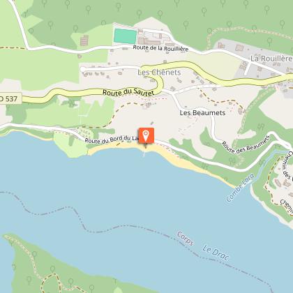
Sautet lake's beach

Enjoy the beach in front of the nautical base : water games, boat rental. Supervised bathing (during summer only).

Sous les Chenets 38970 Corps
- Matheysine Tourisme -
Consulter
image du object

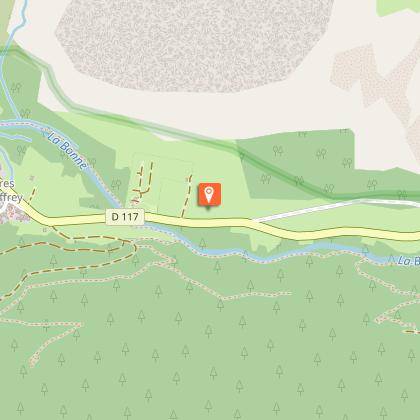
Scierie des Ségoins

Progressivement remise en état de marche par l'association "Mémoire Battante", cette ancienne scierie des années 1900 témoigne encore parfaitement de ce type d'activité sur un site où elle est attestée depuis le XVIIe siècle.Ce bâtiment étroit, tout en longueur, est accroché dans la pente de la rive, entre la rivière et le canal d'amenée. Il s'élargit par un décrochement côté berge (escalier intérieur) sur la moitié aval. De niveau avec la route se trouve en extérieur le canal d'amenée avec son diverticule vers la centrale voisine. En parallèle à l'intérieur, accessible par quelques marches, sont disposés successivement un chariot sur rails traversant tout le bâtiment, un plan garni de cylindres et la scie circulaire qu'il dessert, la scie battante et son chariot également sur rails métalliques. Contre la paroi côté Bonne se trouvent un établi sous une fenêtre et une petite réserve formant guérite en encorbellement. Au niveau inférieur, une partie du volume est occupée par le rocher de la berge ce qui le rend bien plus étroit. A l'aval, contre la route, se trouve la chambre de la roue, en bois, qui est ouverte au niveau supérieur. Son axe met en mouvement engrenages et renvois de fer et de bois, placés contre la rivière, afin de mouvoir indépendamment la battante et la circulaire. Un moteur électrique y est aussi placé. L'édifice a obtenu le label "Patrimoine en Isère", récompensant la qualité patrimoniale d'un édifice d'intérêt départemental.

Route de Pres-Clos (D 117) 38740 Valjouffrey
- Isère Culture -
Consulter
image du object

Sentier découverte du Canal du Beaumont - depuis Saint Laurent en Beaumont

Cette promenade bucolique en sous-bois vous invite à cheminer le long d’un canal vieux de presque 150 ans, un joyau patrimonial qui irrigue, encore aujourd’hui, le Beaumont depuis le Valbonnais.En partant du parking de la mairie de Saint Laurent en Beaumont, descendez la rue en partant à gauche. A la première intersection à gauche, contournez la maison d'habitation par le chemin à gauche. Longez le canal pendant environ 3km. Tout au long du parcours, retrouvez les panneaux ludiques, ce qui fait de cette balade une sortie idéale pour les enfants. Au dernier panneau, vous pouvez revenir par le même chemin jusqu’au parking.

Mairie 38350 Saint-Laurent-en-Beaumont
- Matheysine Tourisme -
Consulter

Date and time

  • From 01/06/2024 to 15/10/2024
  • From 01/06/2025 to 15/10/2025

Additional information

Updated by

Matheysine Tourisme - 05/04/2024
www.matheysine-tourisme.com/
Report a problem

Environments

Forest location
Lake view
Mountain view
Mountain location
Pond within 5 km

Open period

From 01/06 to 15/10.

Contact

Phone : 04 76 56 24 72

Type of land

Ground
Not suitable for strollers

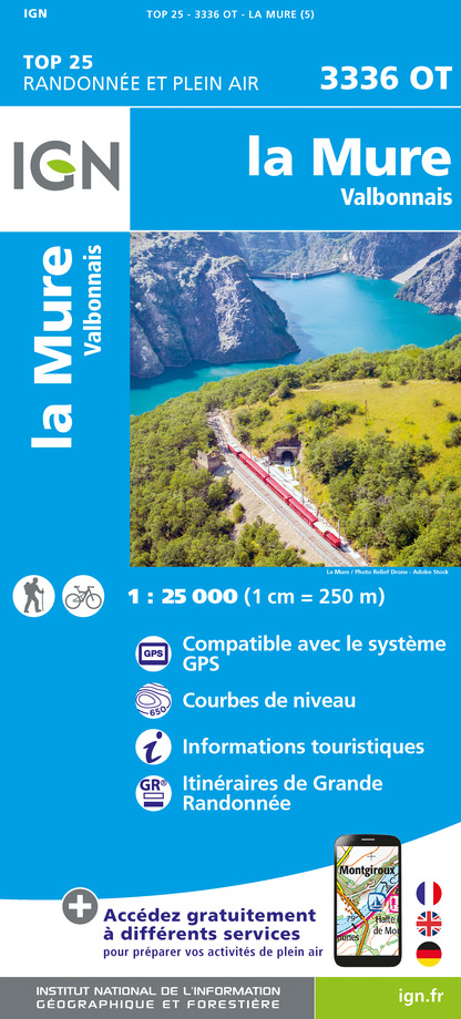
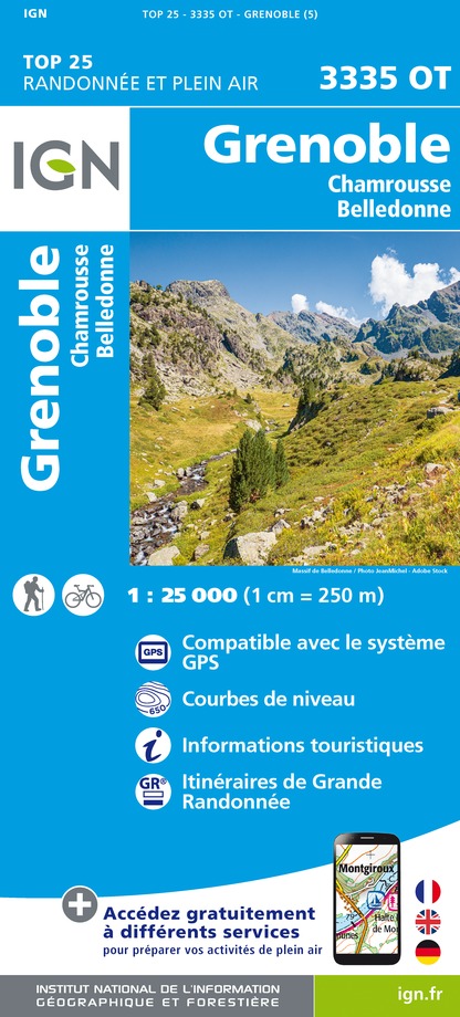
Topo guides and map references

Map references :
CARTO GUIDE LA MATHEYSINE

Data author

Gare du Petit Train de La Mure 38350 La Mure France

Ratings and reviews

To see around
See more
Open
Close
Show
Show
Show
Show
Show
Show
Show
Show
Show
Show
Show