Alert
Alerts
Bicycles, trains & landscapes - Line 38
Description
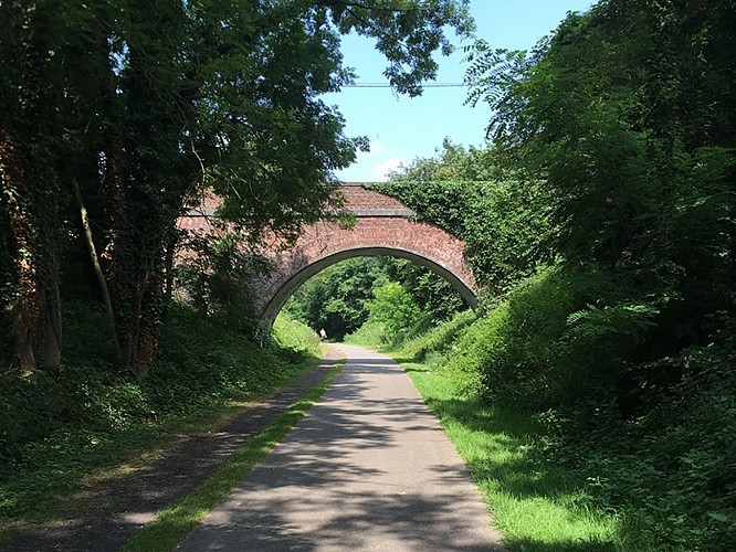
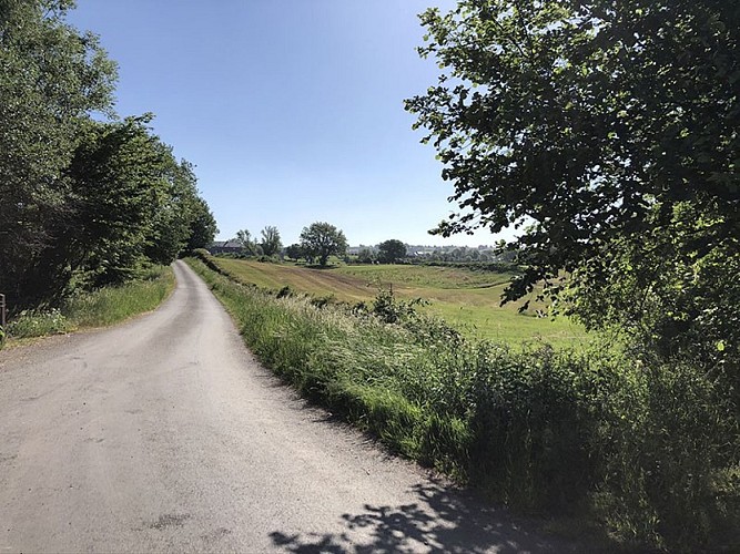
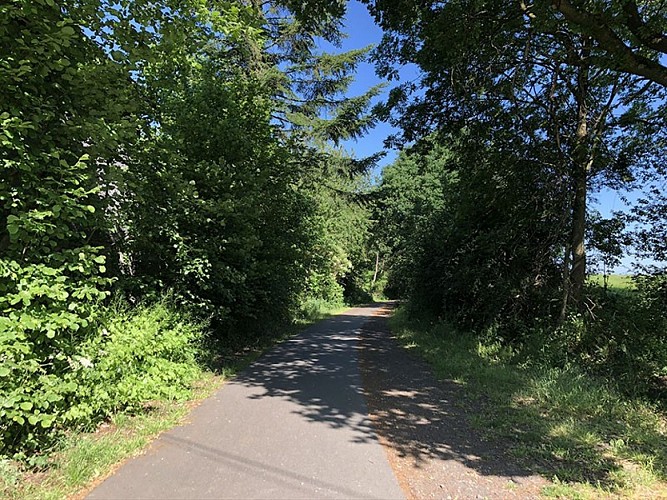
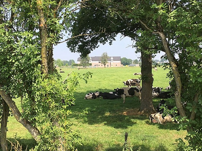
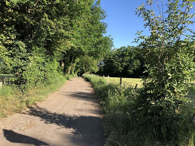
Connecting the German border to Liège, Line 38 – one of the oldest and most mythical sections of the RAVel – takes you to discover the bocages of Pays de Herve in a bright and verdant setting. There are many view points that allow you to admire and appreciate the landscape.
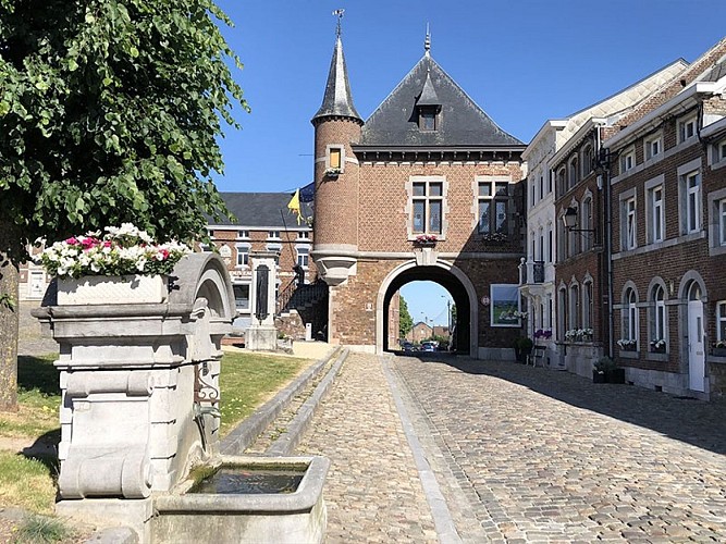
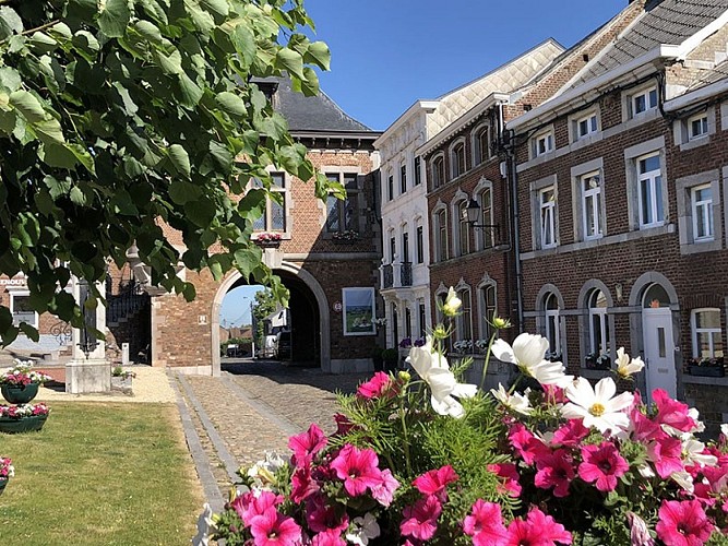
On departure from Welkenraedt station, you will head towards the L38 starting point. For beer lovers, don’t hesitate to pair your bike ride with a visit to the Grain d’Orge brewery. Continue to Aubel, a village that is known for its syrup and cider. You should then leave L38 for a quick trip to one of the most beautiful villages in Wallonia: Clermont-sur-Berwinne.
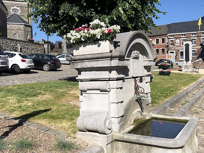
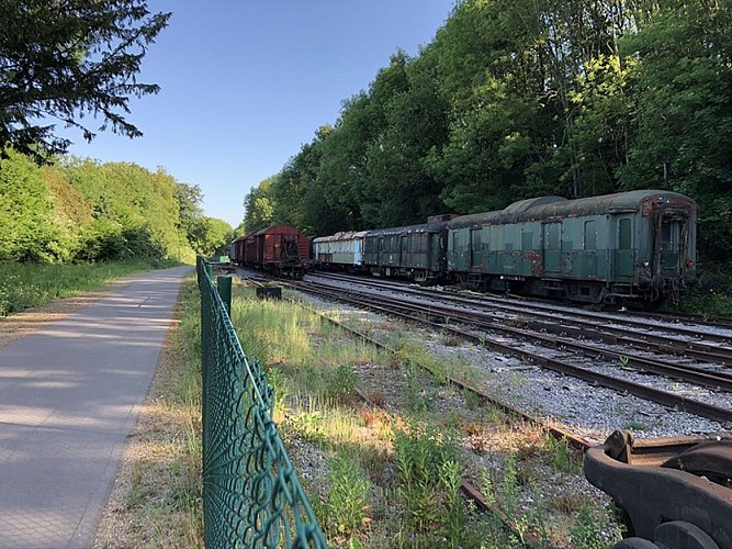
Next, continue towards Herve and its HERVISCOPE (a 15-minute film on a giant screen, followed by a tasting) (visits are possible). You will gradually leave the bocages of Pays de Herve, joining the "Hasard" slag heaps between Retinne and Micheroux before heading towards Liège.
Eat and drink: There are numerous bars and restaurants in Hombourg, Aubel, Clermont, Herve, and Retinne.
- Difficulty: Easy
- Elevation: 345m E+ and 539m E-
- Distance: 58 km
- Starting point: Welkenraedt station
- Node points to follow: 12 → 11 → 10 → 79 → 73 → 72 → 54 → 55 → 53 → 52 → 51 → 48 → 47 → 46 → 45 → 44 → 43 → 41 → 38 → 35 → 32 → 11 → 5 → 4
- End point: Near Liège-Guillemins station
Technical Information
Altimetric profile
Starting point
Additional information
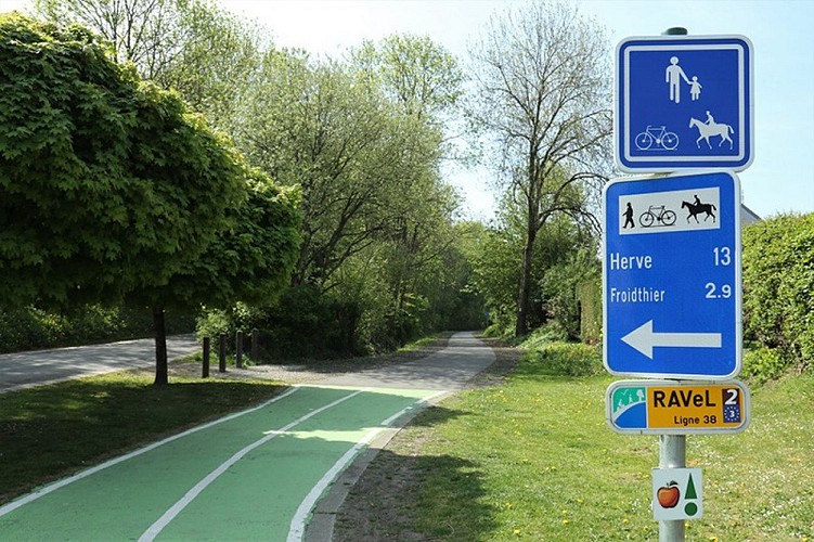
Signalétique (EN)
N2 bis (Connection points) - Green
Data author
