Alert
Alerts
Hike: The Springs of La Durencuse
Description
Duration: 3 hours – Distance: 10 km
A walk that takes you through the more agricultural and wooded parts of the Sidobre, along small paths and tracks suitable for everyone.
Car park GPS coordinates: 43.60720, 2.47642
This walk takes you through the more agricultural and wooded parts of the Sidobre, with the advantage of featuring paths and tracks that are accessible to everyone.
You can find full details of the route by downloading the attached PDF file.
Technical Information
Altimetric profile
Starting point
Steps

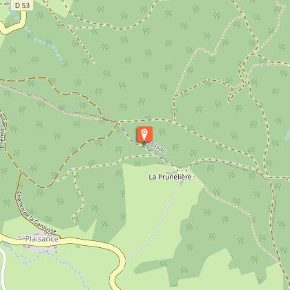
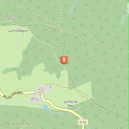
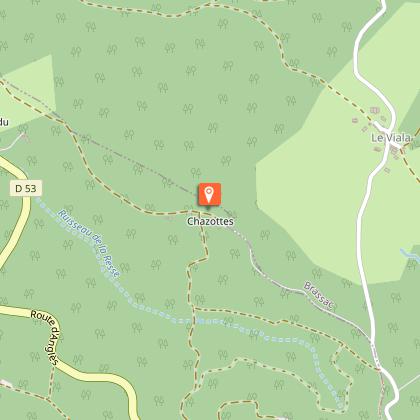
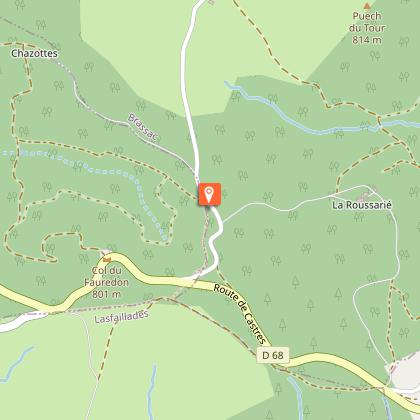
Additional information
Environments
Forest location
20 - 30 min from a train station by car
20 - 30 min walk to bus stop
Updated by
Office de Tourisme Sidobre Vals et Plateaux - 31/08/2026
www.sidobre-vallees-tourisme.com/
Report a problem
Open period
All year round daily.
Contact
Phone : 05 63 74 63 38
Email : accueil@sidobretourisme.fr
Website : https://www.sidobre-vallees-tourisme.com/
Type of land
Ground
Hard coating (tar, cement, flooring)
Animals
Yes
Data author
