Alert
Alerts
Chamechaude - Summit


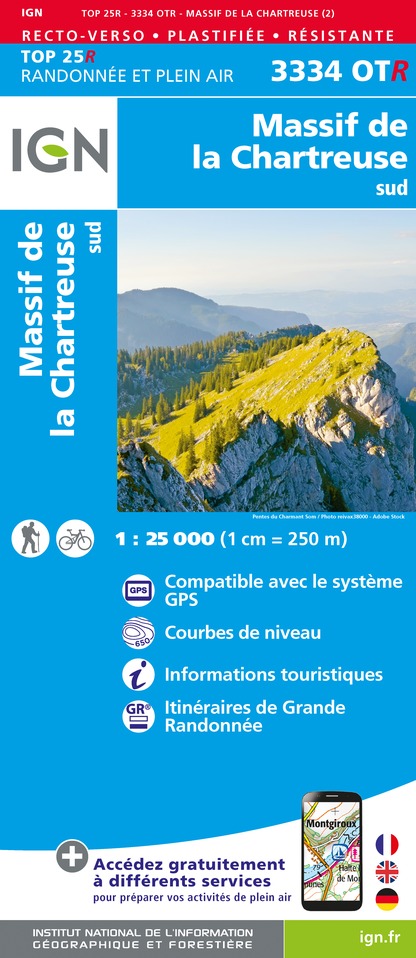
IGN cards


Description
Chamechaude is the highest peak of the Chartreuse massif (2082m). Privileged place for all those who like the difference in height. It offers an exceptional panorama.
Technical Information
Altimetric profile
Starting point
Date and time
- From 01/05/2026 to 30/11/2026
Additional information
Environments
Close to a public transportation
Bus stop < 500 m
Updated by
Chartreuse Tourisme - 24/09/2025
www.chartreuse-tourisme.com/
Report a problem
Open period
From 01/05 to 30/11.
Subject to favorable weather.
Type of land
Rock
Stone
Ground
Not suitable for strollers
Contact
Phone : 04 76 88 62 08
Email : info@coeurchartreuse-tourisme.com
Facebook : www.facebook.com/coeurchartreuse
Guidebook with maps/step-by-step
From the Col de Porte parking lot, head towards the cross-country fireplace and follow the signs for "Cabane de Bachasson". The path initially skirts the meadow, then quickly forks into the forest to reach the hut.
From here, continue left towards La Folatière to the summit. On both the ascent and descent, keep to the S-shaped path to minimize erosion. The descent follows the same route.
For the return journey, and to avoid a return trip along the same route, extend the hike back to the Bachasson hut and continue towards Pré Boiteux and on to Habert de Chamechaude.
Descend towards Le Sappey en Chartreuse. At Montjalat, join Le Churut then Le Réservoir. Follow the GR9 at Appanon and turn right up to Col de Porte.
Things to see/do near the route:
- Petits Jardiniers (5km from the start): medicinal plant cultivation.
- Musée d'Art Sacré Contemporain (8km from the start): St Hugues church.
- Grande Chartreuse Museum (10km from start): audio-guided tour.
- Fort du St-Eynard (10km from the start): tour of the fort and exceptional panorama.
All the info and other ideas for visits on chartreuse-tourisme.com
Information / safety :
- to make the most of your walks and hikes in complete safety, it's a good idea to adopt a few rules and follow a few tips! Before setting off, follow our recommendations and advice on chartreuse-tourisme.com/conseils-rando-trail (or on request from tourist offices).
- A mountain leader is a specialist in mountain fauna and flora, off-trail hiking away from the crowds, local history, alpine and farming traditions, etc. in complete safety! Just ask! Detailed list on chartreuse-tourisme.com (or at tourist offices).
- You hike under your own responsibility. Chartreuse Tourisme and the tourist offices cannot be held responsible for the itineraries proposed.
Useful numbers :
- Weather (please consult
Animals
No
