Alert
Alerts
Type of practice
Boat
Walking
Cycling
Presentation
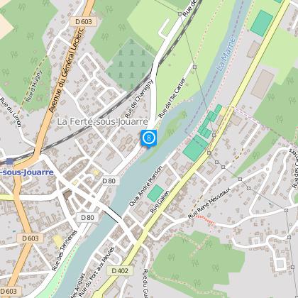
Map
Steps
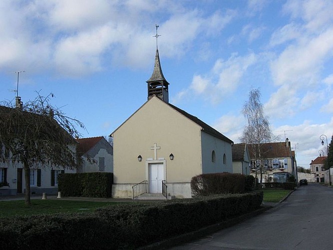
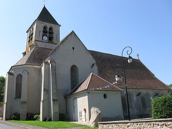
Points of interest
Cirkwi brief's
Ratings and reviews
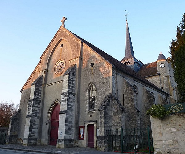
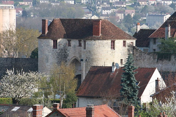
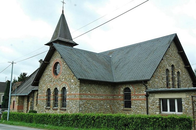
See around
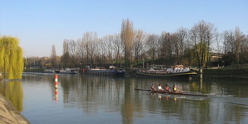
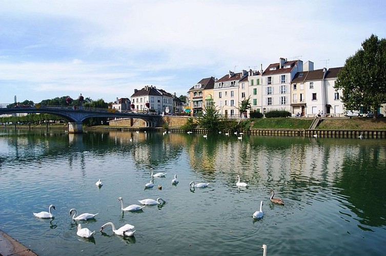
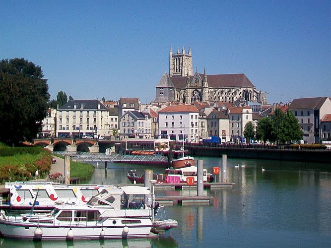
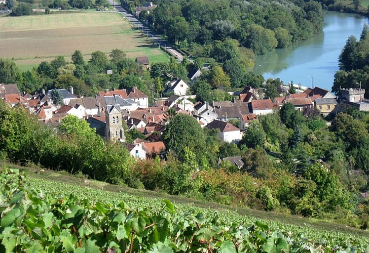
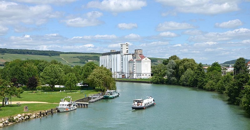
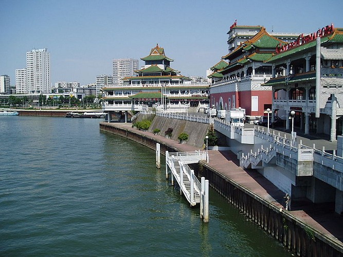
The Marne and the Champagne vineyards

Credit : BRIGITTE ETIENNE
The Cirkwi brief
Discover Champagne Vineyards and Marne Legends
Embark on a captivating journey conceived by Balades Fluviales Fabienne Lemoine Fondateur, inviting you to explore the scenic Marne Valley from the unique vantage of its winding river. This route not only offers a refreshing blend of serene nature and rich cultural heritage, but it also teases the imagination with the tales of Sabinus and Eponine, legendary figures of resistance. Drift through the history and allure of Champagne, a region celebrated for its divine vineyards, and float along paths less traveled, where each bend of the river unveils stories steeped in antiquity and enchantment.
Key Route Insights & Stats
This meticulously designed route covers a significant stretch of 184 kilometers, navigating through varying altitudes—27 meters at its lowest and reaching up to 80 meters. The journey demonstrates a manageable change in elevation, specifically a positive climb from 290 to 331 meters, marking it accessible yet engaging for enthusiasts of all levels. Whether by foot or otherwise, this passage through Champagne's rustic landscape demands respect and preparation for its undisguised beauty and physical challenges alike.
Seasonal Guidance & Safety Tips
To fully relish this picturesque expedition, tailored advice for each season is paramount. Spring and autumn present the most favorable conditions—cool, comfortable weather with the landscape either blooming or boasting autumnal hues. For summer voyagers, early morning or late evening jaunts are advised to sidestep the midday heat. Winter explorers should dress warmly and remain cautious of slippery paths post-rain or snow. Safety-wise, always stay informed about the weather forecast and equip yourself with essentials, including water, snacks, and a map, to ensure a fulfilling and secure adventure.
Champagne: A Realm of History
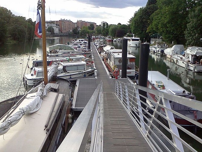
The departure from Alfortville sets the scene for a journey through the heart of Champagne, a region of profound historical and cultural significance. From its Gaulish roots, symbolized by Sabinus's defiance, to its quintessential role in the production of the world's most renowned sparkling wine, Champagne and its waterways have been pivotal to France's heritage. The Marne River, flowing through landscapes punctuated by vineyards and historical landmarks, serves as a living museum, offering insights into France's rich past and its continued influence on global culture and cuisine.
Weather Patterns & Optimal Visit Times
The climate of Champagne is classified as temperate, with distinct seasonal changes. Winters are cold with possible snowfall, while summers can be warm and sunny, making late spring to early autumn the ideal time frame for exploration. Specifically, May through September offers the most pleasant weather conditions for outdoor activities, combining mild temperatures with the beauty of nature in full swing. Planning your visit within this window maximizes the enjoyment of Champagne’s picturesque landscapes and historical sites under the best possible weather conditions.
Embark on a captivating journey conceived by Balades Fluviales Fabienne Lemoine Fondateur, inviting you to explore the scenic Marne Valley from the unique vantage of its winding river. This route not only offers a refreshing blend of serene nature and rich cultural heritage, but it also teases the imagination with the tales of Sabinus and Eponine, legendary figures of resistance. Drift through the history and allure of Champagne, a region celebrated for its divine vineyards, and float along paths less traveled, where each bend of the river unveils stories steeped in antiquity and enchantment.
Key Route Insights & Stats
This meticulously designed route covers a significant stretch of 184 kilometers, navigating through varying altitudes—27 meters at its lowest and reaching up to 80 meters. The journey demonstrates a manageable change in elevation, specifically a positive climb from 290 to 331 meters, marking it accessible yet engaging for enthusiasts of all levels. Whether by foot or otherwise, this passage through Champagne's rustic landscape demands respect and preparation for its undisguised beauty and physical challenges alike.
Seasonal Guidance & Safety Tips
To fully relish this picturesque expedition, tailored advice for each season is paramount. Spring and autumn present the most favorable conditions—cool, comfortable weather with the landscape either blooming or boasting autumnal hues. For summer voyagers, early morning or late evening jaunts are advised to sidestep the midday heat. Winter explorers should dress warmly and remain cautious of slippery paths post-rain or snow. Safety-wise, always stay informed about the weather forecast and equip yourself with essentials, including water, snacks, and a map, to ensure a fulfilling and secure adventure.
Champagne: A Realm of History
The departure from Alfortville sets the scene for a journey through the heart of Champagne, a region of profound historical and cultural significance. From its Gaulish roots, symbolized by Sabinus's defiance, to its quintessential role in the production of the world's most renowned sparkling wine, Champagne and its waterways have been pivotal to France's heritage. The Marne River, flowing through landscapes punctuated by vineyards and historical landmarks, serves as a living museum, offering insights into France's rich past and its continued influence on global culture and cuisine.
Weather Patterns & Optimal Visit Times
The climate of Champagne is classified as temperate, with distinct seasonal changes. Winters are cold with possible snowfall, while summers can be warm and sunny, making late spring to early autumn the ideal time frame for exploration. Specifically, May through September offers the most pleasant weather conditions for outdoor activities, combining mild temperatures with the beauty of nature in full swing. Planning your visit within this window maximizes the enjoyment of Champagne’s picturesque landscapes and historical sites under the best possible weather conditions.
Automatically generated.
Technical Information
Boat
Difficulty
Not specified
Dist.
184 km
Type of practice
Boat
Walking
Cycling
Show more
Altimetric profile
Starting point
94140
Alfortville
Lat : 48.816472Lng : 2.410212
Steps

Data author

Ratings and reviews
To see around