Alert
Alerts
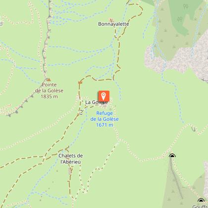
Walking itinerary: Golèse pass and refuge
Description
Wide open and easy to access, the Col de la Golèse path has been used for a very long time. In fact, this route is the gateway to neighboring Switzerland via the Col de Coux.
Itinerary for guidance only.
Technical Information
Altimetric profile
Starting point
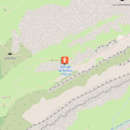
Points of interest

Date and time
- From 15/06/2026 to 20/09/2026
- From 15/06/2027 to 20/09/2027
Additional information
Updated by
Office de Tourisme de Samoëns - 07/06/2026
www.samoens.com
Report a problem
Environments
Mountain view
Mountain location
Open period
From 15/06 to 20/09.
Subject to favorable snow and weather conditions.
Contact
Phone :
04 50 34 40 28
04 50 90 59 53
Email : infos@samoens.com
Website : http://www.samoens.com
Topo guides and map references
Topo guides references :
Topo ‘50 randonnées en vallée du haut giffre’ Patrice Gain, on sale in the valley's shops.
Map references :
IGN TOP 25 - 3530 ET Samoëns map - on sale at the tourist office and in shops. Montagnes du Giffre hiking map - CCMG - on sale at the tourist office.
Location complements
Depart from the Plan des Arches parking lot above the village of Les Allamands.
Animals
Yes. Pets allowed on leash only.
Data author
