Route N°18 - La route des palombes
Description
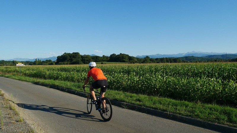
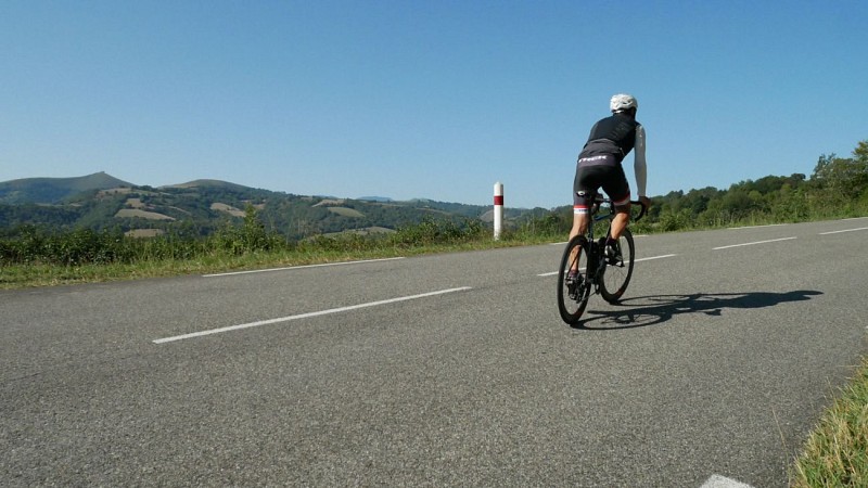
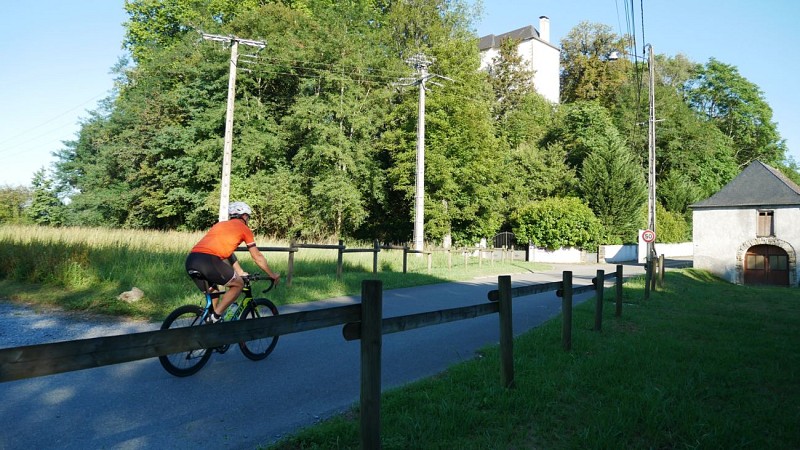
This circuit, without much difficulty, is conducive to learning about the Basque-Béarnaise history and culture. In the approximately 52 km of route, at first we will be surprised to advance with such ease in such winding terrain. The many paths intertwine in a green landscape against the backdrop of valleys and roads with viewpoints. The few highest points point towards the mountains and invite you to conquer the highest passes. Throughout the villages you will cross, pediments, Trinidadian bell towers and restaurants with tempting menus will attract your curiosity and make you stop for a moment. Hôpital St-Blaise and its UNESCO World Heritage-listed church are worth a stop, and the site of the former Gurs camp is a mere detour away. The balance of this multifaceted trip will satisfy a wide range of "cyclists", from the most contemplative to the most athletic.
Technical informations
51 km
|
max. 400 m
min. 138 m
413 m
413 m
| ||||||
Altimetric profile
Starting point
Additional information
Typologie de l'itinéraire
Loop
Cycle route
Durée moyenne de l'expérience
3 to 4 hours
Equipements
Power Point (supermarket, restaurants)
Ablutions
Water point
Power Point (supermarket, restaurants)
Picnic area
Power Point (supermarket, restaurants)
Power Point (supermarket, restaurants)
Power Point (supermarket, restaurants)
Thèmes
Natural
Data author
