Alert
Alerts
The "Grand Bois" loop

Description
Have you heard of Saint-Béron itinerary, the "Grand bois" loop? There, you will discover one of the hidden side of an amazing protected countryside. On foot, by bike or riding a horse, you will find signs corresponding to your path. Very nice trek to be enjoyed in any season.
The trek on foot is 8.1 km long, about 2.5 hours walk, and the highest point is 350m high.
difficulty: easy
Mountain bike loop (blue n°2) is 13.2 km long, 1.5 hour ride and the highest point is 490m high
difficulty: medium
As it partly takes walking trails of Saint Béron, you will enjoy the nice hilly and varied views and paths.
Technical Information
Altimetric profile
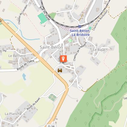
Starting point
Points of interest


Additional information
Environments
In the country
Updated by
Communauté de Communes Val Guiers - 17/02/2026
Report a problem
Open period
All year round daily.
Contact
Website : http://www.tourisme.ccvalguiers.fr
Location complements
Starting point: main crossroad in Saint Béron at the edge of the road D203
Animals
Yes
Data author
