Alert
Alerts
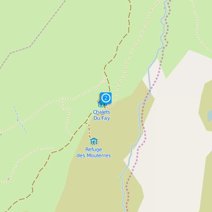
Refuge du Fay
IGN cards


Description
From Mizoen – Les Aymes, the path follows the path GR50-54 (Tour du Dauphiné) that leads up to the refuge des Clots (it is also possible to make a detour via the discovery path): take a break and admire the huge Cascade de La Pisse and the view! Then continue the climb, quite steep, up to the plateau where you reach the refuge du Fay, which you’ll see on your left in a bend of the track. Le Plateau itself is a little piece of heaven, with a wide variety of alpine flowers during June and July, numerous colonies of marmots near the refuge, grasshoppers, butterflies, dragonflies to the lakes, and also larks, the golden eagle and around sixty vultures recently arrived from the South. Emparis has always been a renowned pasture: the path will then be a good excuse to encounter
the shepherds, their dogs and thousands of sheep. The departure is also possible from
Besse-en-Oisans or Le Chazelet, in both cases following the path GR54. Mountain bikers may also reach the hut by the sheperds’ road (about 15km), which can also be taken by suitable vehicles with dry and clear weather.
Altitude: 2 258 m
IGN map n° 3335 ET
Path OBP n° 343, 345
Hiking :
-Lac noir – Lac Lerié (1½ hour)
-Pic du Mas de la Grave (3020m – 3 hours)
Technical Information
Altimetric profile
Starting point
Steps
Data author
