Alert
Alerts
Via ferrata "Les mines du Grand Clôt"


Description
This is a historical via ferrata, as it is actually on the site of the former silver mines that closed down in 1926.
Technical informations :
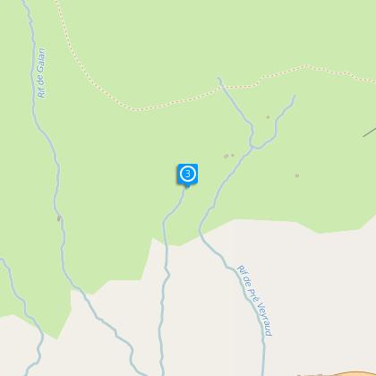
Time : 5h30
Difficulty : D
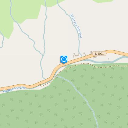
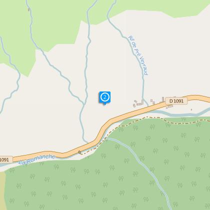
Start : 750 m
Heigh gain : 750 m
Orientation : sud
Period : april > october
Guides, Maps : IGN top 25, 3436 ET, Meije, Pelvoux.
Les via ferrata autour de Grenoble et Briançon, éditions Glénat.
Toutes les via ferrata de France, éditions Libris.
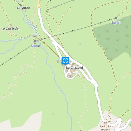
The first stretches of steel rope are on the site of the old mine and you can see all the features typical of mining activity, including handrails and the anchor points of the cableway that carried the ore, as well as galleries that were dug by hand as early as the 7th century. You then tackle a long (15 m) and airy chimney before reaching an easier passage that takes you to the Emparis plateau. The walk back is to the east, along the GR54 (Tour d’Oisans) footpath. Go through the village of Le Chazelet and turn right down the path to the Notre Dame de Bon Repos chapel. Once down at the road, walk back to the car park.
Cultural information :The Oisans mines
In the 14th century, the Oisans mines were in full expansion. The ground everywhere was being drilled and dug to mine silver, iron and lead, but also coal and slate. The mine at Le Grand Clot probably existed in Roman times, but it was in the 10th century that large-scale mining began to take place. 150 people worked in the mine and it continued in full production until the 1830s, when it gradually declined, following changes in ownership and difficulties in extracting the ore. The lead silver of Le Grand Clot was used to make pottery glazes. If the ore did not contain enough silver, only the lead was sold. The seam looked promising, but as elsewhere in Oisans, it proved to be a disillusion. Gold fever had taken over in Oisans… and, despite many attempts, there was never any substantial production and, in particular, never the immense wealth, so highly coveted. The Oisans Eldorado was still prayed for…
Technical Information
Altimetric profile
Starting point
Steps
Data author
