Alert
Alerts
The Chemin de Ronde loop, Lac Laramon and Cascade de Fontcouverte
Description
This magnificent loop on the GRP Tour du Mont Thabor combines several must-sees: the balcony trail with its breathtaking views, Lac Laramon, the Ricou refuge, the Fontcouverte waterfall and the trail along the right bank of the river...
From the Lacou parking lot, head for Chapelle Sainte-Barbe, a few metres after Chapelle Notre-Dame de Bon Secours. The trailhead is just after Chapelle Sainte-Barbe, on the right, indicated by a yellow "Chemin de Ronde" sign.
This little path twists and turns up a fairly steep slope, with a difference in altitude of around 350 metres. The Chalets de Biaune are soon visible on the right. Ignore the right-hand path and continue upwards until you reach the last bend, which marks the start of the balcony path.
Here, the Chemin de Ronde stretches out like a balcony over 4 kilometers to reach Lac Laramon, and offers incredible views over the valley and all the peaks of the Cerces massif. It's a truly pleasant section, where the difference in altitude is barely noticeable (320 m of ascent and 115 m of descent).
After 4 kilometers, a tiny lake appears on the right-hand side of the trail. Continue on, then at the fork, leave the GR and take the path on the right: the remaining 400 metres will take you directly to Lac Laramon.
Cross the Lac Laramon spillway to begin the descent along the right bank of the stream. The path reaches a major fork: ignore the left and right paths, and continue downhill towards the Refuge de Ricou and the hamlet of Fontcouverte.
At the Refuge de Ricou, continue downhill on the wide, stony track towards Fontcouverte.
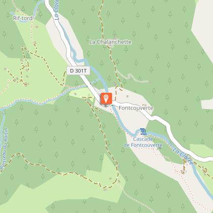
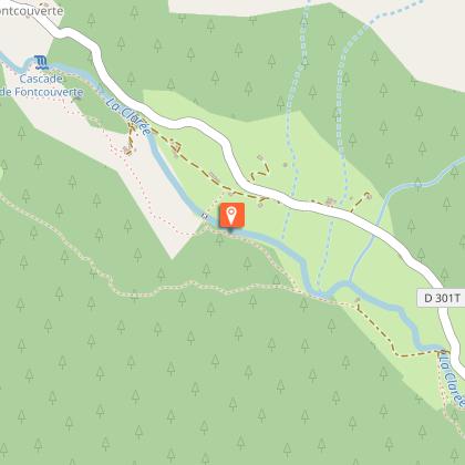
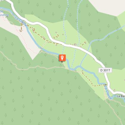
The track finally leads to the D301T and the hamlet of Fontcouverte: cross the bridge to reach the Auberge de la Fruitière. We recommend stopping at the Auberge's small fountain, then taking the path beneath the Auberge towards the Fontcouverte waterfall.
This last part of the hike is the most verdant; between forests and summer cottages, this tiny dirt path winds along the right bank of the Clarée, amid a wide variety of lush flowers. The Fontcouverte waterfall is soon reached, followed by the chalets de la Meuille.
Ignore the Pont de Lacha fork and continue along the same route. The path widens out a little, skirting the vast green plain of La Souchère and its only chalet, until you reach the Pont de la Souchère.
A second time, ignore the bridge and continue along the path on the right bank. This crosses the small Basse Sausse lock and reaches the typical Basse Gardiole chalets perched on the rocks.
Once past the chalets, the path crosses the small footbridge over the Gardiole stream and opens out onto the wide GR57 path leading to the Refuge de Buffère. Ignore the climb and follow this GR to reach the Pont du Rately.
Cross the bridge and follow a stony track across the fields to reach the D301T and the starting point.
Technical Information
Altimetric profile
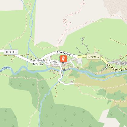
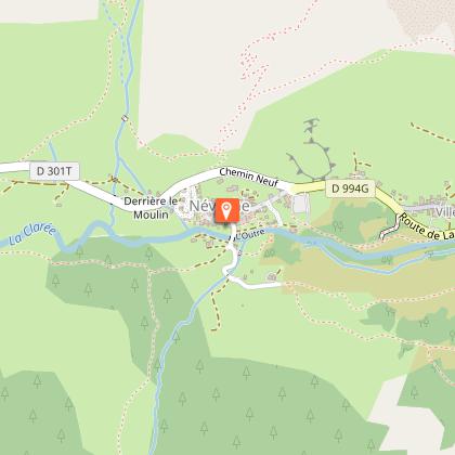
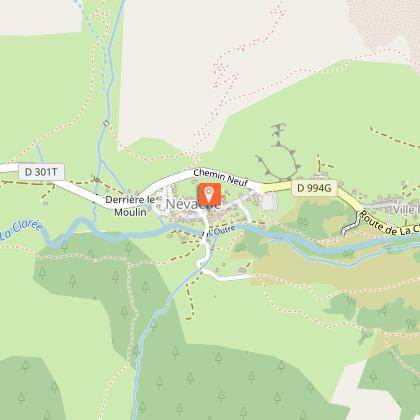
Starting point
Steps
Points of interest


Additional information
Environments
Presence of livestock and guard dogs
Updated by
Office de tourisme des Hautes Vallées - La Grave - La Clarée - L'Izoard - 08/02/2026
www.hautesvallees.com/la-grave/
Report a problem
Contact
Phone : 04 92 20 02 20
Email : claree@hautesvallees.com
Website : https://www.hautesvallees.com/la-claree/
Facebook : https://www.facebook.com/ClareeTourisme
Type of land
Non-groomed itinerary
Stone
Not suitable for strollers
Animals
Yes. In the Clarée, dogs must be kept on a leash on all trails, for reasons of wildlife protection, but also to ensure cohabitation with herd protection dogs.
Data author
