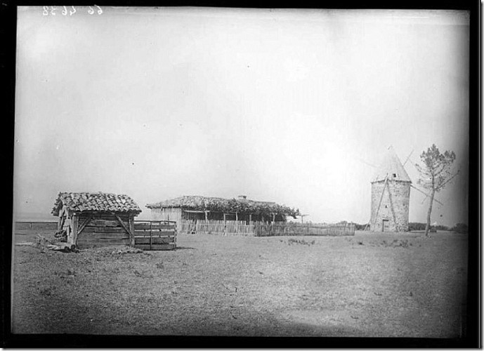
Moulin du Nord - Arnaudin
Description
Time: 3h
Pedestrian, Mountain bike
Road signs: Green signs, White markings
Difficulty: *( Easy)
Distance: 11 kms
Map IGN 1339 and TOP 25
Directions
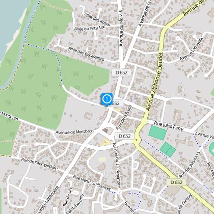
From D7, with City Hall behind you (J 13 on map,) take Jules Ferry Street which is perpendicular to City Hall, head East, at the roundabout go straight. Direct yourself towards the municipal pool, 1 Muletiers Street and make a left at Megnicat Alley. Continue onto Rameaux Alley and continue on the path through under the trees, take camping des Petits Ecureuils 2 direction. Turn right and continue on path until you reach Moulin du Nord 3. Proceed straight on the road until you reach the “En Hill 4” neighborhood, cross bridge that crosses the ditch bearing the same name. Continue down the road towards the Arnaudin neighborhood, and cross the neighborhood. Behind the barn continue straight towards the South using the path until you reach intercommunal bike path “ # 17 marked on 2,5 km. Turn right and stay on bike path until Forestiere Street 6, take the path in front of you that passes under the electric lines. When you reach the houses, take Massenet street, turn left onto Gravieres Alley and right continuing onto Muletiers Street and return to your point of departure using Jules Ferry Street.
The numbers 1 through 6 are markers on the path map
Technical informations
11 km
|
max. 37 m
min. 25 m
12 m
| ||||||
Styles : HikingBaladeDiscovery Public : FamilyOccasional hikers Theme : Patrimony | |||||||
Altimetric profile
Starting point
Data author
