Alert
Alerts
La Broustasse
Description
Time: 2h
Pedestrian, Mountain bike
Road signs: Green signs, White markings
Difficulty: ** (medium)
Distance: 8.1 kms
Map IGN 1339 and TOP 25
Directions
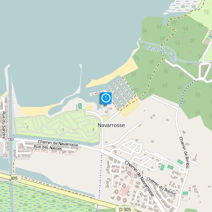
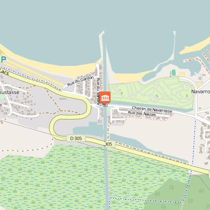
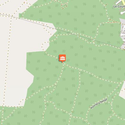
Start at D5, from the Navarosse marina (on map J7/8). Take the road in front of you, your back towards the lake, then take the first street along the “canalot”. Cross the canal using the ramp. Continue until the lakes road and cross it 1. Take a left onto path that follows the road and cross it 1. Take a left onto path that follows the road for 100 meters and go up the 1-st sandy path on the right. Follow the Pétanque street. At the crossroad 2, take a left onto the limestone path. Pass under the electric lines and continue until the dry lagoon. Take, before the lagoon, the first path on your right. Continue until the Fabre cabin (tree resin tapper’s cabin,) 3. Leave the path on your left and follow the winding course until the electric line follow it on the right for 100 meters. Turn left passing under electric line. Continue on the path (do not take any of the small paths on your right) until Ispe 4. Circuit is winding and shaded. Magnificent view of the bay. Cross the road, turn right and stay on the lake shore heading towards Navarosse. Head alongside the bike path for 300 meters and continue your trail along the beach until canal 5 follow the canal in order to reach the ramp on your left, cross the ramp and continue straight along the “Canalot”, and make an immediate left in the direction of “la Régie” of the harbour D5.
The numbers 1 through 5 are markers on the trail map
Technical Information
Altimetric profile
Starting point
Points of interest
Data author
