Alert
Alerts
HIKING TRAIL : LA CORNÉE DES RHÈTES ET FORÊT DE RHODES
Description
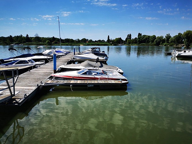
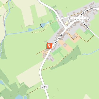
The hiking trail of the "Cornée des Rhètes" leads you along the pond of Stock, in Rhodes and in the forest. The departure is from the church square.
The name "Stock" refers to a tree stump. A part of the pond is called "Cornée des Souches" (corner of tree stumps) . The pond has known many changes.It was enlarged between 1860 and 1866 during the construction of the Saar Canal. The pond, as well as those of Mittersheim, Gondrexange and Réchicourt-le-Château are used as reservoirs for the canal.
The walk goes around the campsite and continues in the middle of the reeds. Then it's time to go to the forest (be careful, a 200m section can be muddy in winter)! Before returning to the starting point, visit the Anabaptist-Menonite cemetery. There are only three in Moselle.
The circular path is 8 km long and takes about 2 hours and 20 minutes to complete.It is an easy walk.
Technical Information
Altimetric profile
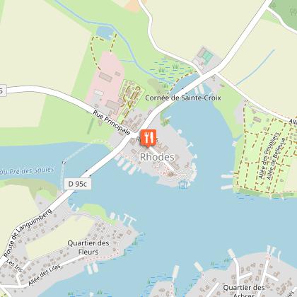
Starting point
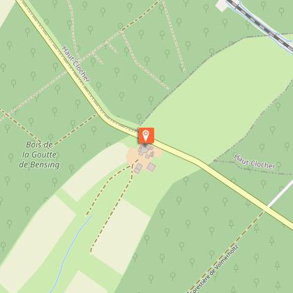
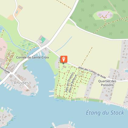
Points of interest
Data author
