Alert
Alerts
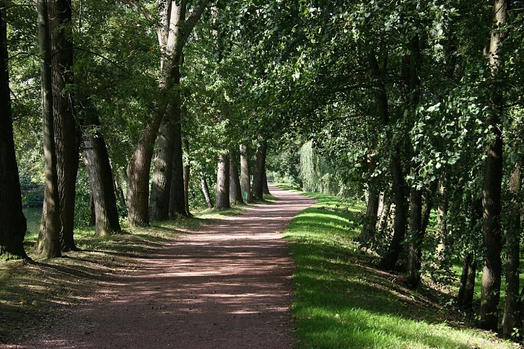
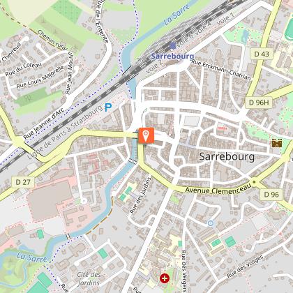
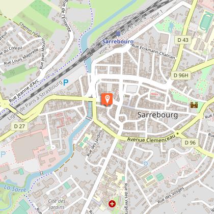
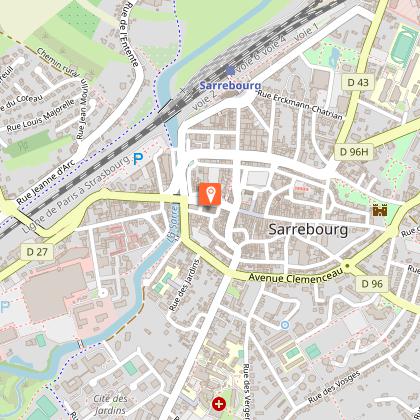
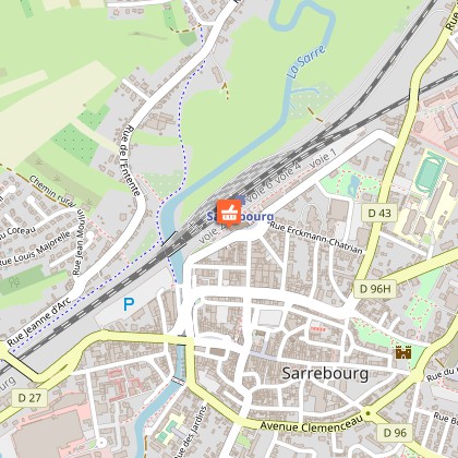
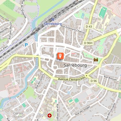
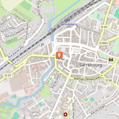
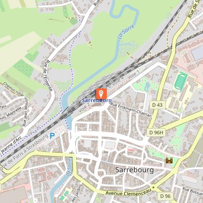
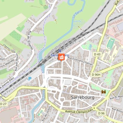
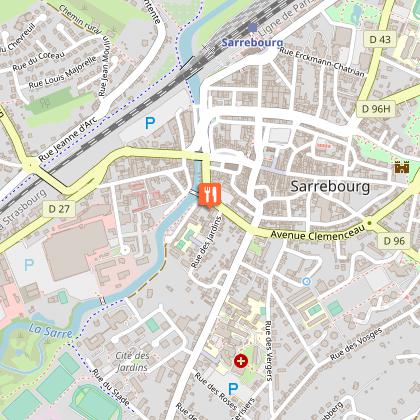
HIKING TRAIL : CIRCUIT DE LA SARRE IN SARREBOURG
Description
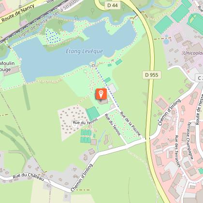
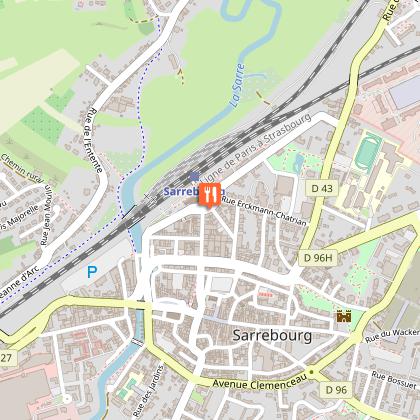
The Sarre's hiking trail in Sarrebourg is half urban, half forest. It offers beautiful views. It starts at the pond of the city. You walk along the river Sarre to reach the city center.
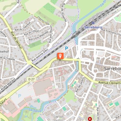
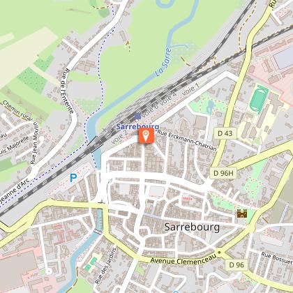
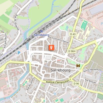
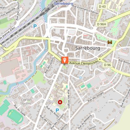
Once you arrive at the end of the quai Jean XXIII, if you have time, make a detour to discover the Parcours Chagall, a complex made up of the Chapelle des Cordeliers where several of the artist's stained glass windows are located and the Musée du Pays de Sarrebourg.
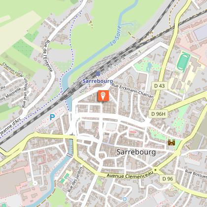
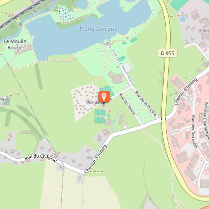
Otherwise, take the tunnel that passes under the railroad tracks and take the "chemin noir". It will lead you to Hoff, a district of the city that was once a village. Go to its baroque church, Saint Martin, and continue the walk to a viewpoint that will allow you to discover a panorama of the Vosges Mountains. The rest of the route is on the edge of the forest in the direction of Imling.
The circular route is 13.3 km long and takes about 4 hours to complete. The course is easy.
Technical Information
Altimetric profile
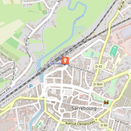
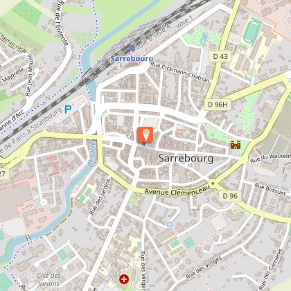
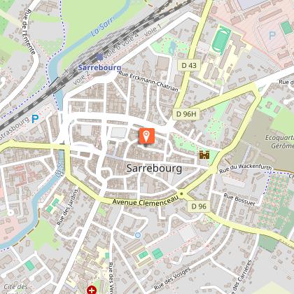
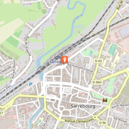
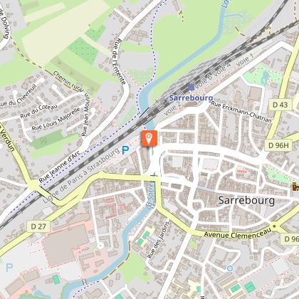
Starting point
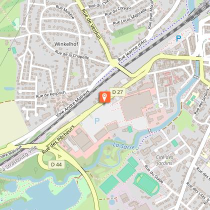
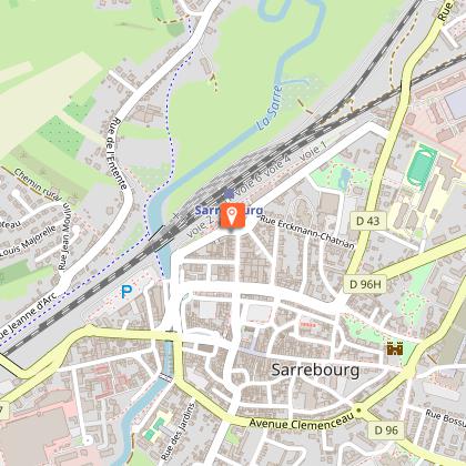
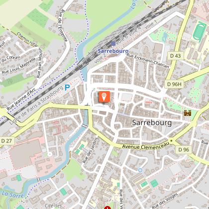
Points of interest


Data author
