Alert
Alerts
Hiking trail la baraque carrée

Description
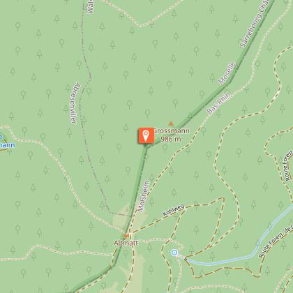
The hiking trail of the "baraque carrée" starts at the landmark 235 of the "chemin des bornes du Prieuré (in Saint-Quirin)" and near the vestiges of a German graveyard from the Second World War. Halfway through/Midway, you will reach a shelter called "la baraque carrée" which belongs to the Club Vosgien (a hikers association). The whole trail is 6 km long and takes about 2 hours to complete. The difficulty level is average because of the elevation gain.
Technical Information
Altimetric profile
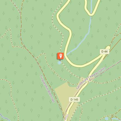
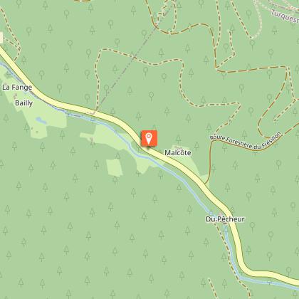
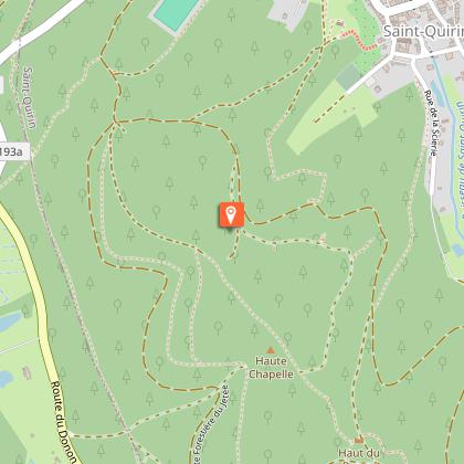
Starting point
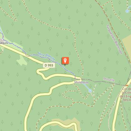
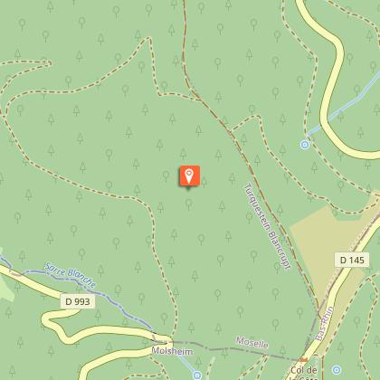
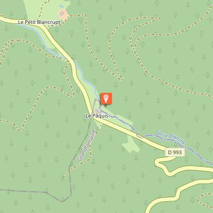
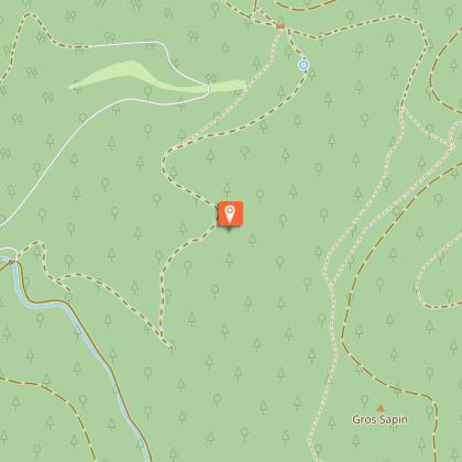
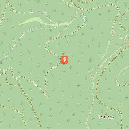
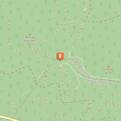
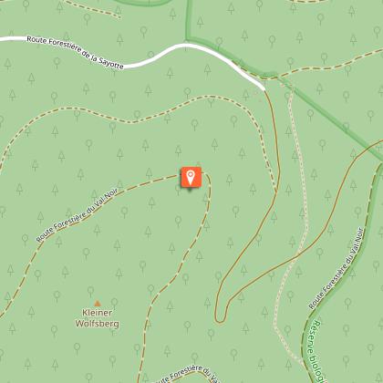
Points of interest


Additional information
Producteur de la donnée
Ces informations sont issues de la plateforme SITLOR - Système d’Information Touristique - Lorraine
Elles sont synchronisées dans le cadre du partenariat entre Cirkwi, l’Agence régionale du Tourisme Grand Est et les membres du comité technique de Sitlor.
Contact
Tel : 03 87 03 11 82
Email : contact@tourisme-sarrebourg.fr
Site web : www.tourisme-sarrebourg.fr
Data author
