Alert
Alerts
Cycling. From the Cézallier plateaux to the Alagnon country - route 2
Description
From the Cézallier to the Cantal mountains, from the Alagnon and Sianne valleys to the foothills of the Margeride, an alternation of new and varied landscapes, surprising and relaxing except for your legs (total vertical drop 4000 m).
Technical Information
Altimetric profile
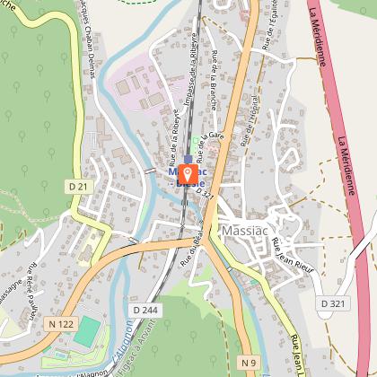
Starting point
Points of interest

Additional information
Updated by
Hautes Terres Tourisme - 12/06/2025
www.hautesterrestourisme.fr
Report a problem
Open period
All year round.
Subject to favorable weather.
Contact
Phone : 04 71 20 48 43
Website : www.hautesterrestourisme.fr
Type of land
Hard coating (tar, cement, flooring)
Data author
