Alert
Alerts
The Singladou Walk
Description
Duration: 4 hours 30 minutes – Distance: 16.3 km
A trail through unspoilt countryside, taking in ski runs, meadows, viewpoints and peat bogs.
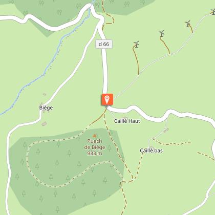
Car park GPS coordinates: 43.64137, 2.60136
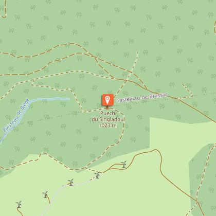
This nature trail offers remarkable scenic views, particularly of peat bogs. It consists of alternating ascents and descents, with no major difficulties. In the heart of the woods, you can see low walls marking the boundaries of plots of land and the ruins of a barn. At the summit of Puèch du Singladou (the highest point in our area), at 1,024 metres, you can see Albi Cathedral on a clear day.
You can find full details of the route by downloading the attached PDF file.
Technical Information
Altimetric profile
Starting point
Steps
Additional information
Environments
Forest location
30 - 40 min from a train station by car
In the country
Updated by
Office de Tourisme Sidobre Vals et Plateaux - 31/08/2026
www.sidobre-vallees-tourisme.com/
Report a problem
Open period
All year round daily.
Contact
Phone : 05 63 74 63 38
Email : accueil@sidobretourisme.fr
Website : https://www.sidobre-vallees-tourisme.com/
Type of land
Ground
Animals
Yes
Data author
