Route N°24 - Le Bugalaran version 30
Description
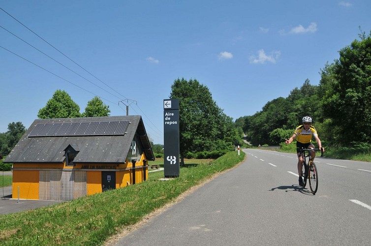
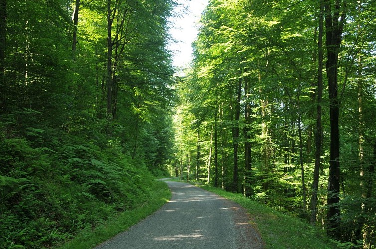
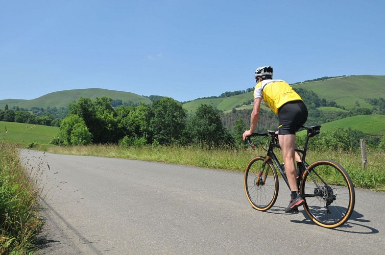
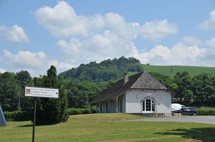
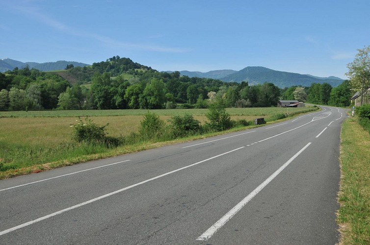
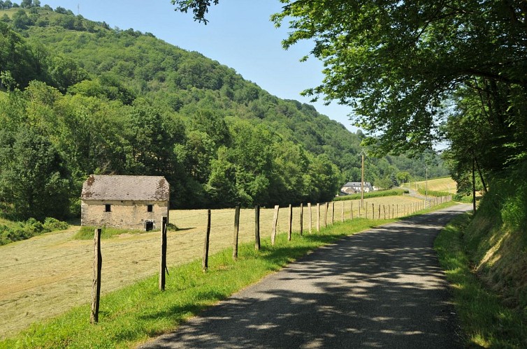
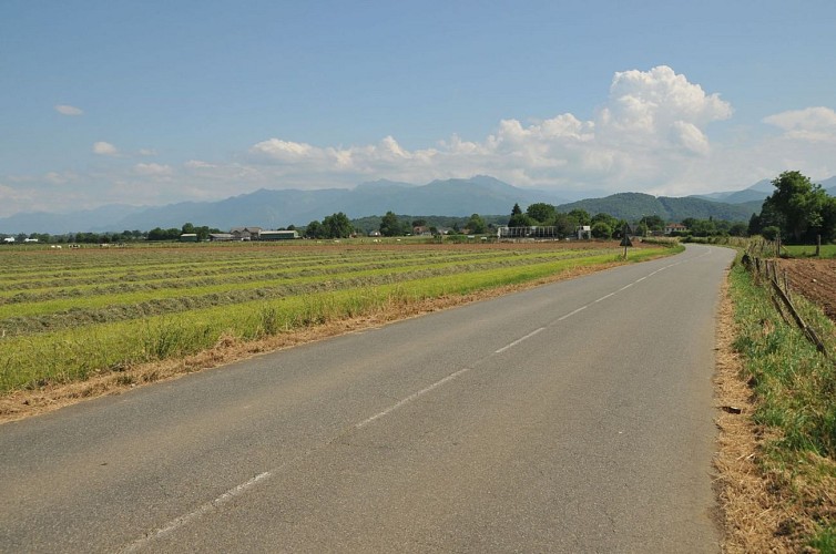
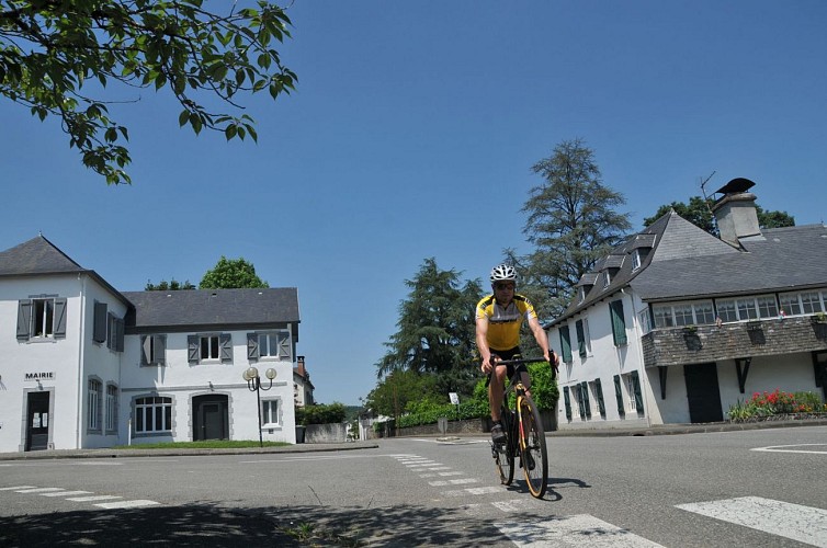
Thirty kilometers in a circuit from Oloron and two elongated valleys to circulate between towns and meadows: it could be said that it is only a route made to take a breath of air. The link between Aramits and the secret valley of Littos is none other than the no less silent port of Bugalaran. A "small, but resistant" port, with severe percentages (10%) and steep ramps that will make you cross two or three zigzags. An ascent for fans of the final of the spring classics, more than for a Colombian climber who endures the great passes in summer. In the land of the Musketeers, it will take passion and panache to tackle these four kilometers, before embarking on a stimulating ride at the entrance of the Esquiule Valley.
Technical informations
31 km
|
max. 499 m
min. 201 m
310 m
310 m
| ||||||
Altimetric profile
Starting point
Additional information
Typologie de l'itinéraire
Loop
Equipements
Water point
Picnic area
Water point
Thèmes
Gourmet
Natural
Data author
