Alert
Alerts
Hike The Fros Wood


Description
A 3 hours hike on the pastures of the Cantal Mountains with several mountain huts called "burons" where people made formerly in the summer the famous Cantal cheese. A pleasant hike above the Brezons Valley.
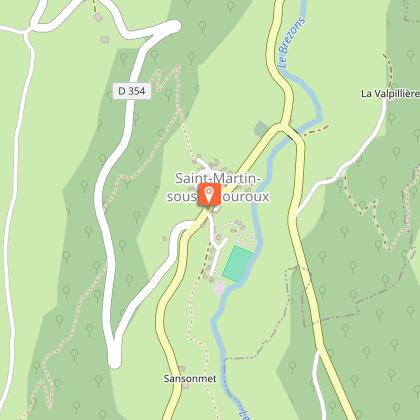
D – DEPART: From VIGOUROUX at the beginning of the tarred path take the car until the forest (2,5 km). Do not follow the large path opposite but make your way to the left alongside the wall. Then penetrate the wood by a path to the left.
1 - Descend to the right on a large path which crosses a beech wood, follow the edge before following the stream. Cross the stream on a bridge of stones. Climb up opposite until the road.
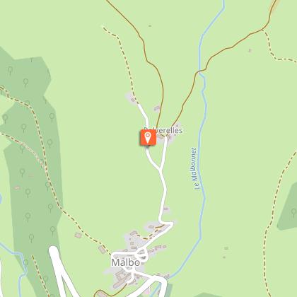
2 - Follow the road until MONTREAL.
Pass between the houses and continue on the path which keeps to the left. Follow it. At the crossroads leave the left branch and continue until a crossroad passing in front of a farm.
3. Follow opposite on a large path between meadows. At the following fork continue right in the direction of an old cowshed with corrugated blue roof. The route of the ramble arrives at the point of the beech wood. Stay on this good path which turns to the left and reach a parking place.
4 - The path passes near the ruins of the Buron du Louvatier. Beautiful view to the High Valley of Brezons and the Cantal mountains. Stay on the good path on the left until a parking place.
5 - Leave the track and take a grassy path in undergrowth. At the first crossroad go up to the right. By some bends join a large track.
6 - Follow to the left on the edge of the wood. Follow it until an opening in the wood. View to the Lebréjal and Aubrac plateau.
7 - At the following crossroad turn left on a path which again finds the wood. At the following crossroad go right then stay on this good track until the departure point.
Mountainbike: difficult level. Time: count 1 hr 30 minutes.
Difficult rise and uneven track between 1 and 2.
Difficult descent between 1 and 2.
Technical Information
Altimetric profile
Starting point
Points of interest
Date and time
- From 01/05/2026 to 31/10/2036
Additional information
Environments
In the country
Mountain view
Panoramic view
Updated by
Office de Tourisme des Pays de Saint-Flour - 24/11/2025
www.pays-saint-flour.fr
Report a problem
Open period
From 01/05 to 31/10.
Subject to favorable snow and weather conditions.
Contact
Phone : 04 71 23 38 04
Website : https://www.pays-saint-flour.fr
Type of land
Ground
Not suitable for strollers
Animals
No
