Alert
Alerts
Hike The Lebréjal plateau
Description
This walk includes a difficult climb and descent through the deep slopes of the Brezons valley. The descending path trough loose stones where great car must be taken. No mountainbiking possible.
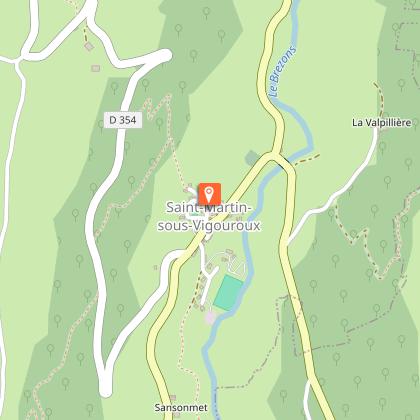
D - In Saint-Martin-sous-Vigouroux, on the church square (parking lot). Follow the D990 to the left, towards Brezons. At the Fournier mill (on the left), cross the bridge and continue to the LA VOLPILIERE crossroads.
1 - 200 m further on, leave the road and turn right onto a path that rises up under ash and beech trees. Climb the path winding through the forest to a wider paved track, which you follow to the right as far as the village of BOUSSAC.
2 - In the village, take the road to the left for 200 metres. Then take a sandy track to the left, which narrows to a crossroads. Take the track on the left, which leads through a field to the IZERGUES cross. View over the Brezons valley. Take the low-walled path down to the village of IZERGUES.
3 - When you reach the village of IZERGUES, take the path on the right that leads to BARRES. Continue on the tarmac road, cross CHAPUS and continue straight on to LIADIERES. Turn left onto the D39, cross the bridge and climb towards La VERGNETTE. At the entrance to the hamlet, take the left-hand path up to the village of VIGOUROUX.
4 - Place de l'église, turn left and follow signs for LEBREJAL. At the "patte d'oie" (cross), follow a wide track, then a path between low walls.
5 - A little further on, a path climbs to the right and back, bringing you to an orientation table with views of Carladez, Aubrac, Vallée de Brezons and Monts du Cantal. Rejoin the path.
6 - At a crossroads above LEBREJAL, continue straight ahead through meadows to the road at a cross.
7 - Go downhill to the left, along the edge of a meadow, then into a small wood. Reach the tarmac above a barn. Go downhill on the road, passing the first hairpin bend on the right.
8 - Then pass a second bend at the information panel erected by the Parc Naturel Régional des Volcans d'Auvergne. View of the village of SAINT-MARTIN-SOUS-VIGOUROUX, the Aubrac and the Vallée de Brezons. Continue for another 300 m.
9 - Turn left onto a path on the edge of a scree, but be careful on the way down, as the terrain is slippery. It rapidly loses altitude through an area of coppice. Lower down, at a fork, leave the right-hand branch and continue downhill between low walls, to reach the village and the starting point.
Not suitable for mountain bikes.
Technical Information
Altimetric profile
Starting point
Points of interest
Date and time
- From 01/05/2026 to 31/10/2036
Additional information
Updated by
Office de Tourisme des Pays de Saint-Flour - 11/06/2025
www.pays-saint-flour.fr
Report a problem
Open period
From 01/05 to 31/10.
Subject to favorable weather.
Contact
Phone : 04 71 23 38 04
Website : www.pays-saint-flour.fr
Type of land
Ground
Not suitable for strollers
Tricky passages
Steep climb between Lescure and Vigouroux, possibility of a variant to avoid this part.
Difficult descent between Lebréjal and Saint-Martin-sous-Vigouroux (slippery path)
Animals
No
