VTTAE N°69 - Le tour de Saint-Pée
Description
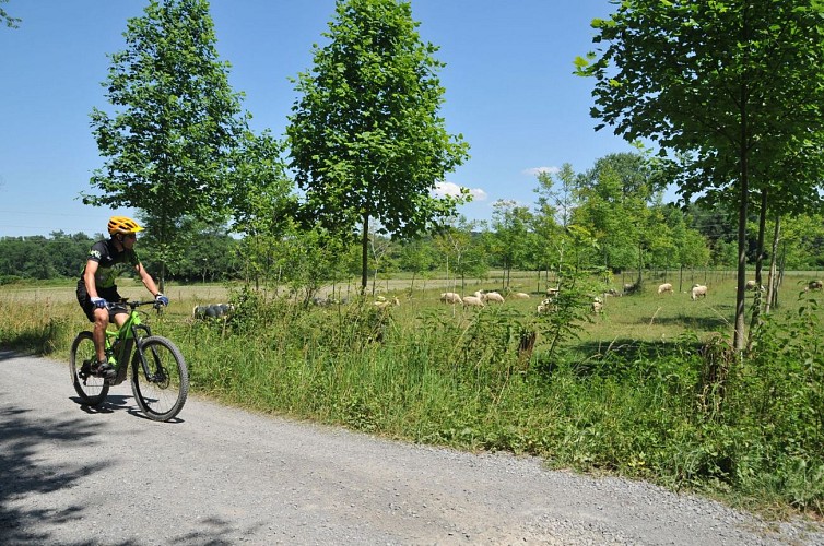
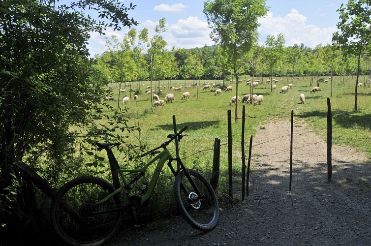
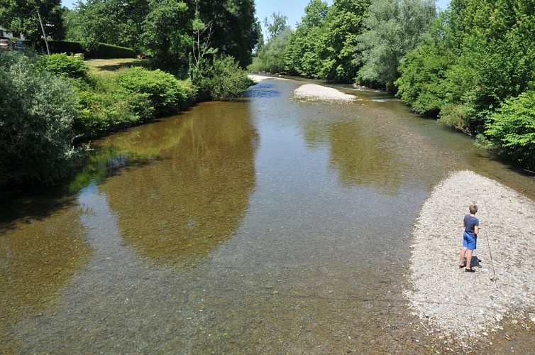
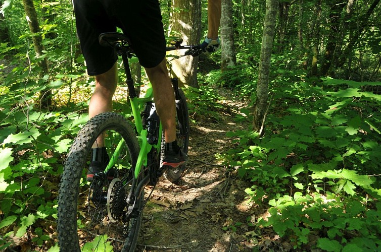
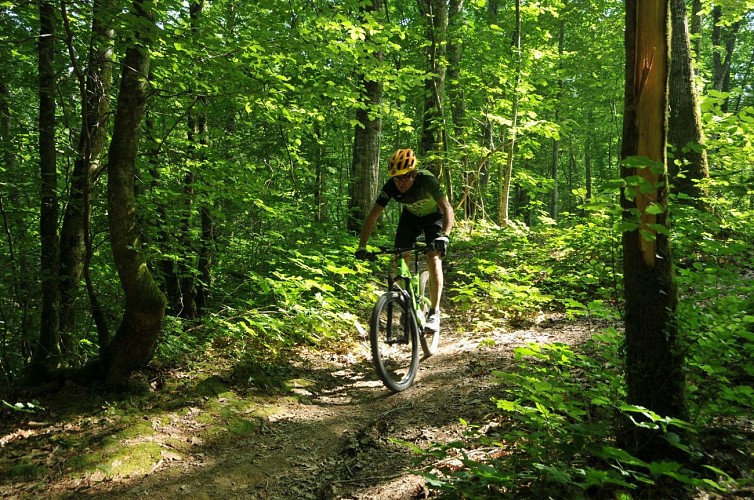
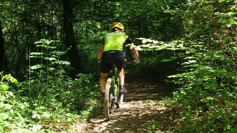
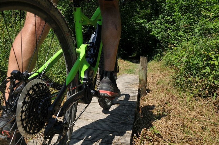
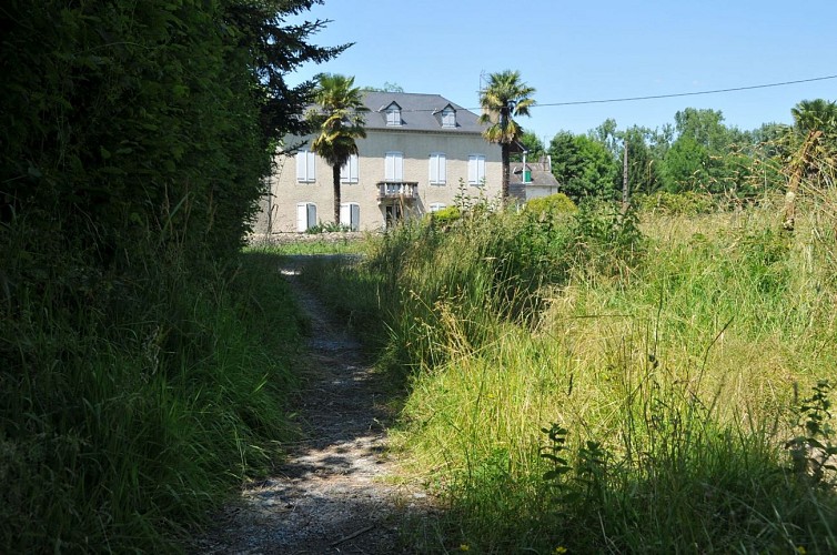
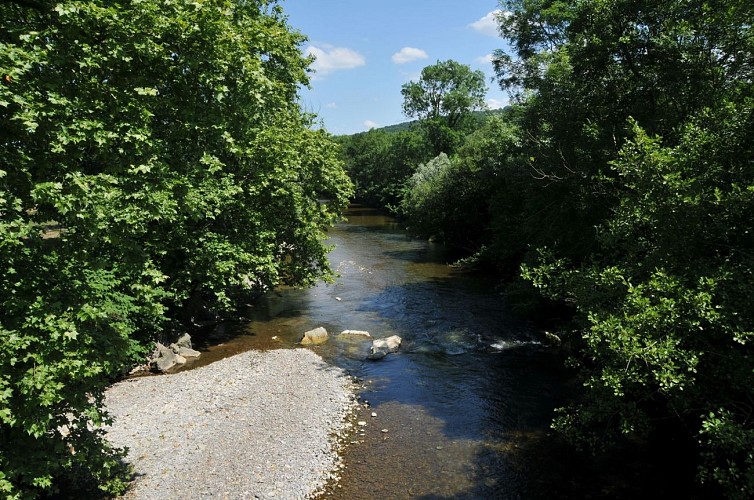
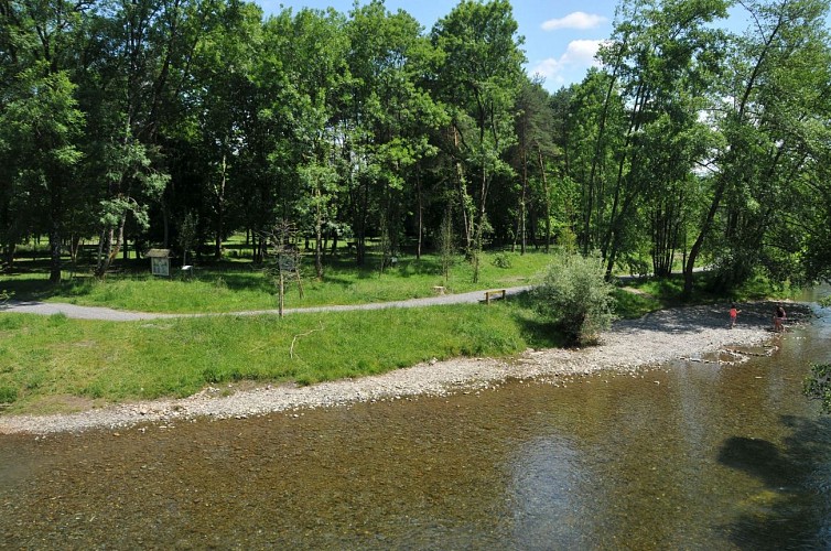
The route, located entirely in the city of Oloron Santa-Marie, begins at the edge of the Saint-Pée sports esplanade, nothing more natural for a city called "active and sports city". Then, you will arrive on the banks of the Vert, a beautiful tributary of the Gave d'Oloron, which you will discover from bridge to bridge, through the districts of Saint-Pée d'en Haut and Saint-Pée d'en Bas, where the site of Pont Noir deserves a contemplative or sports break (exercise parcours). Your bike's battery will be underused because the elevations are modest. Upon returning to the Bois de Haut, you will follow a long narrow path that is very playful, which is woven between the trees; Control your pace and fine-tune your bike's direction, front wheel control is essential.
Technical Information
Altimetric profile
Starting point
Additional information
Typologie de l'itinéraire
Loop
Equipements
Picnic area
Water point
Ablutions
Thèmes
Natural
Data author
