Alert
Alerts
GR® 738 - Belledonne journey
Description
The Belledone journey GR® 738, is the trails of shepherds, it's a choice of different itinerary to discover mountain pastures of Belledonne, the landscapes they offer, the men and their activities.
This is a hike where you will discover and dialogue with the people living and loving the mountain.
Technical Information
Altimetric profile
Starting point
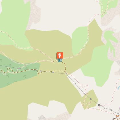
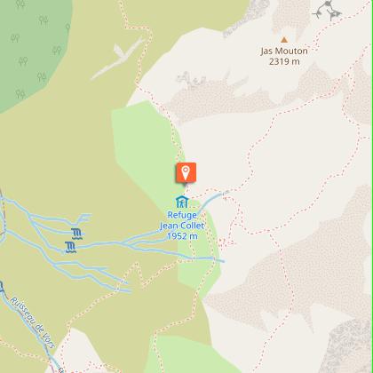
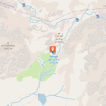
Points of interest


Date and time
- From 15/06/2026 to 15/09/2026
- From 15/06/2027 to 15/09/2027
Additional information
Open period
From 15/06 to 15/09 daily.
Subject to favorable weather.
Updated by
Isère Attractivité - 25/03/2026
www.alpes-isere.com
Report a problem
Environments
Mountain location
Contact
Phone : 04 76 13 57 78
Website : http://www.hautetraverseedebelledonne.com
Type of land
Rock
Stone
Ground
Topo guides and map references
Topo guides references :
La Haute Traversée de Belledonne The shepherds' path
®Topoguide FFRandonnée.
GR738 and GR de Pays.
Map references :
IGN 3432 ET
IGN 3433 OT
IGN 3335 ET
Reception complements
Recommended equipment per day:
♦ Hiking shoes
♦ Depending on the weather: a hat or cap, sun cream, sunglasses and/or rain gear, walking sticks, meat bag, flashlight, toiletries, warm fleece, hat if the weather is cool, (windbreaker, Gore-Tex, ...)
♦ Backpack with water pouch or 2-liter flask
♦ Snacks
Tricky passages
Stones at Col de la Vache and Brèche de Roche Fendue.
Animals
No. Dogs are tolerated but strongly discouraged due to the presence of herds accompanied by patous.
Dogs must be kept on a leash.
Don't forget to ask the wardens of each refuge if they accept them.
