The Iron Cross
Description
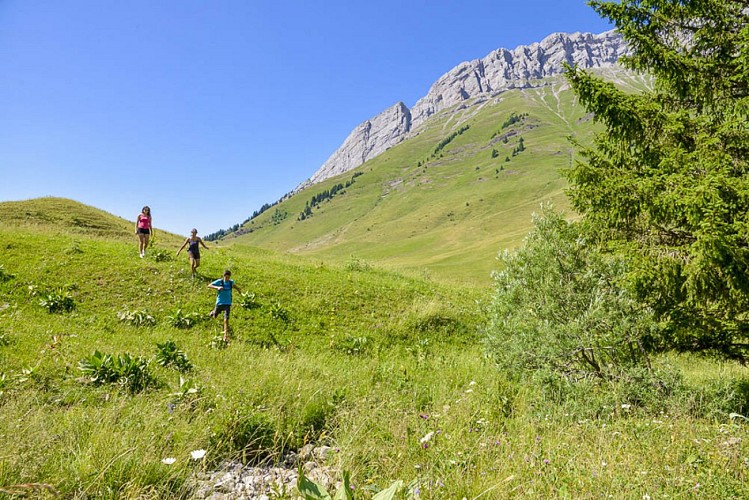
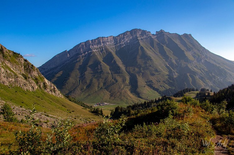
Panoramic walk at the foot of the Aravis.
The trail is used by farmers and hikers as part of their work. For a good cohabitation be courteous and let them pass.
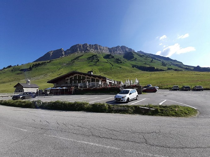
DEPARTURE: Col des Aravis.
Use the roadside parking provided for this purpose, so as not to hinder agricultural users.
ROUTE: From the parking of Col, take the track towards LA ZORETTE (direction South). Take the path towards LA SOURCE DES ARAVIS, then PLANCHAUX. Join the LA signpost CROIX DE FER : return to the cross to enjoy the panorama. Then take the track back to LA TÊTE and LA ZORETTE to return to Col des Aravis.
POINTS OF INTEREST:
- The panoramas on the village of La Giettaz and the massif of Mont Blanc.
- Many alpine farms, with the possibility to buy cheese, butter ...
Technical informations
3 km
|
min. 99999 m
160 m
160 m
| |||
Altimetric profile
Starting point
Points of interest
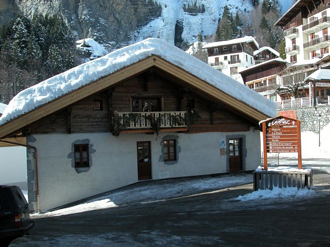
Tourist Office of Val d'Arly - La Giettaz Office
Tourist Office of Val d'Arly bureau in La Giettaz en Aravis. Welcome of the public, information, documentation, booking, ticket office, shop, service. Do not hesitate to come and visit us! ATM in the lobby.
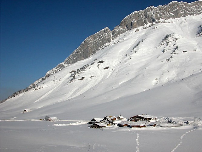
Aravis Pass
Mountain pass (alt: 1498m) – means of passage between Savoie and Haute Savoie. Magnificent views over Mont-Blanc. Alpine meadows, hiking trails, restaurants…
La Porte des Aravis "Chez Bruno"
Situated at the Col des Aravis, overlooking Mont-Blanc. Come and taste our Savoyard specialities. Communions, baptisms, family meals and seminars. Open every day.
Date and time
- From 01/06/2024 to 30/09/2024
- From 01/06/2025 to 30/09/2025
Additional information
Updated by
Office de Tourisme du Val d'Arly - 23/04/2024
www.valdarly-montblanc.com
Report a problem
Environments
Mountain location
Reception conditions for animals
Dogs must be on a leash.
Open period
From 01/06 to 30/09.
Type of land
Stone
Ground
Not suitable for strollers
Contact
Phone : 04 79 32 91 90
Email : sentiers@valdarly-montblanc.com
Website : www.valdarly-montblanc.com
Topo guides and map references
Topo guides references :
Walking and hiking map of the Val d'Arly for sale at 9 € or Topo Walks and Short hikes on sale at € 4 in the tourist offices.
