Alert
Alerts
Hiking loop from Maravant


IGN cards


Description
The path leads from the edge of the plateau, with its plunging view over Lake Geneva, to the more intimate territory of the Maravant valley (meaning "bad ravine"). The Saint-Martin de Champanges church (starting point) dates from 1720.
Starting from the church in Champanges, you'll reach the village of Larringes, then the hamlets of Féternes.
An easy walk to discover the different landscapes of the Gavot plateau.
The more curious will discover an imposing stone bowl, evidence of a prehistoric presence, and, near the Château-Vieux chapel, the lime tree planted in Sully's time, or the Gerbaz mill, which produced flour and oil until 1932.
Technical Information
Altimetric profile
Starting point
Additional information
Sustainable tourism
To respect farming practices, natural areas and wildlife, please keep your dogs on a lead and pick up after them. Keep and sort your rubbish, stay on the paths and close the fences.
Updated by
Office de Tourisme Leman Mountains Explore - 12/06/2025
leman-mountains-explore.com
Report a problem
Environments
In the country
Lake view
Mountain view
Village 2 km away
Open period
From 01/01 to 31/12.
Accessible outside the snowy period and depending on the weather conditions. Please check with the Tourist Office beforehand to find out the current access conditions.
Contact
Phone : 04 50 73 60 72
Email : bernex@ot-peva.com
Type of land
Ground
Hard coating (tar, cement, flooring)
Location complements
Departure from the church car park
Topo guides and map references
Topo guides references :
On sale in the tourist offices of the pays d’Évian.
Map references :
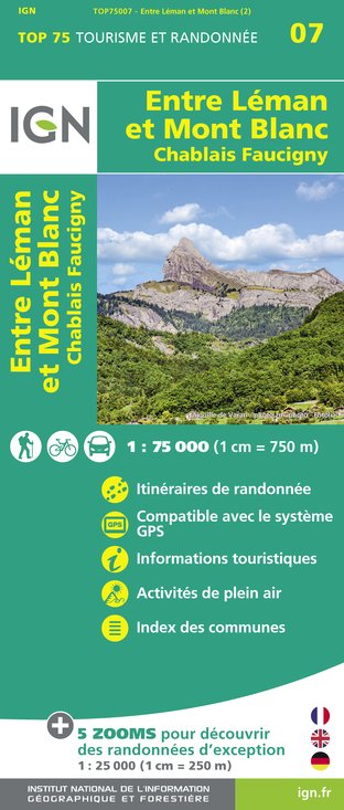
TOP 25 N°3528 ET Morzine Massif du Chablais Les Portes du Soleil
Guidebook with maps/step-by-step
0/ Start at Champanges church.
1/ Follow the main road towards Larringes. At "Saint Martin", turn right. Follow the narrow road to the Larringes soccer stadium.
2/ Turn right at the soccer stadium, and continue along a small dead-end road. Continue along a footpath to the hamlet of "La Gerbaz". Go around the hamlet, then follow the river to the hamlet of "Les Thièzes".
3/ Bypass the small hamlet and take a small road towards Chullien. After crossing the river, take the local road on your right, which leads to Champanges, your starting point.
4/ At the end of the road, turn right and drive past the butcher's shop and "La Praire" campsite. You'll soon reach the village church.
Animals
Yes. Pets allowed on a lead

