Alert
Alerts
Snowshoeing in La Vachette, Les Alberts and Val des Prés


Description
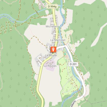
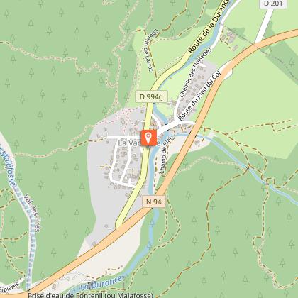
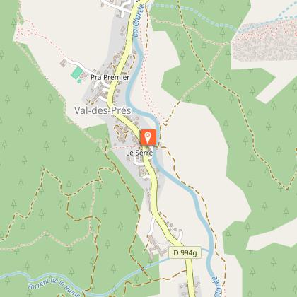
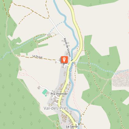
This pedestrian/snowshoe itinerary takes you along the Clarée through the villages and hamlets of La Vachette, Les Alberts, Le Rosier and Val des Prés.
The trail starts at the Draye parking and takes you around Val-des-Prés and the rosier. The booklet, on sale at the Val-des-Prés tourism service, will reveal the mysteries of the landscapes that surround you during these 10 steps.
Technical Information
Altimetric profile
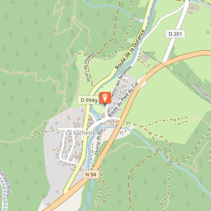
Starting point
Points of interest

Date and time
- From 15/12/2026 to 10/03/2027
- From 15/12/2027 to 10/03/2028
Additional information
Environments
Riverside
Mountain view
Forest location
Mountain location
Updated by
Office de tourisme des Hautes Vallées - La Grave - La Clarée - L'Izoard - 10/03/2026
www.hautesvallees.com/la-grave/
Report a problem
Contact
Phone : 04 92 20 02 20
Email : claree@hautesvallees.com
Website : https://www.hautesvallees.com/la-claree/
Facebook : https://www.facebook.com/ClareeTourisme
Topo guides and map references
Topo guides references :
The Nordic ski area map is available from the SIVOM Val Clarée Montgenèvre ski patrol chalet in Les Albert and from the La Clarée - Névache Tourist Information Office.
Map references :
Maps IGN Top 25 N° 3536 Briançon Montgenèvre
Maps IGN Top 25 N° 3535 Névache Mont Thabor
Reception complements
Pedestrian/snowshoe routes are signposted in the field. Please use them.
Use of these routes is the personal responsibility of the user.
Please note that the itinerary is not groomed daily.
Animals
Yes
Data author
