A nice way to hike between two beautiful villages of the Revermont region by walking on the slopes of Montcel. The crest of this mountain offers views on the Bresse plain, on Cuisiat and the three mountains (Mont-Myon, Montfort and Mont-Châtel)
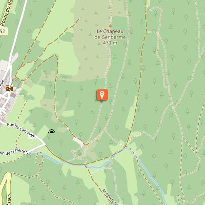
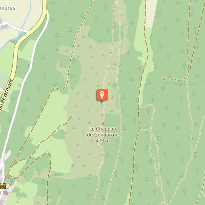
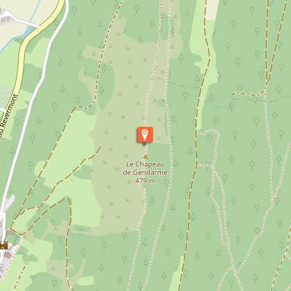
Small hike on the heights of Treffort where you can see a gendarme hat (geological phenomenon), access to the belvedere and discovery of Treffort.
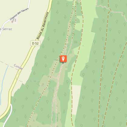
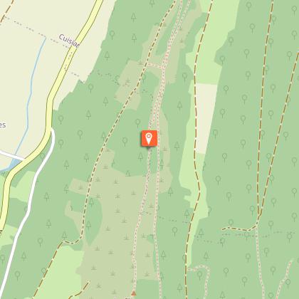
Route : Take the path towards Cuisiat. On the slopes of Montcel you can clearly see the Murgers, which remind us that this hill was covered with vines before the war. Return to Treffort behind
Montcel. Viewpoint before Treffort. Passing over the Balmette cave (prehistoric habitat: flint, pottery, axe and bones). Many Murgers.
Variant "Crête de Montcel
Numerous viewpoints, gendarme hat (geological phenomenon).
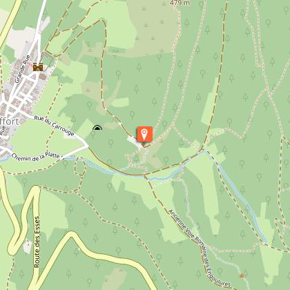
Junctions : Possibility to join the valley and the wash house of La Platte.
Technical Information
Walking
Difficulty
Easy
Duration
2h
Dist.
6.6 km
Type of practice
Walking
Easy
2h
Pos. Elev.
220 m
Max. Alt.
444 m
Min. Alt.
308 m
Circuit updated on 02/04/2026
Show more
Altimetric profile
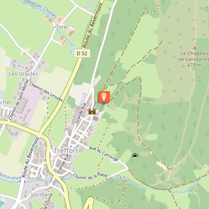
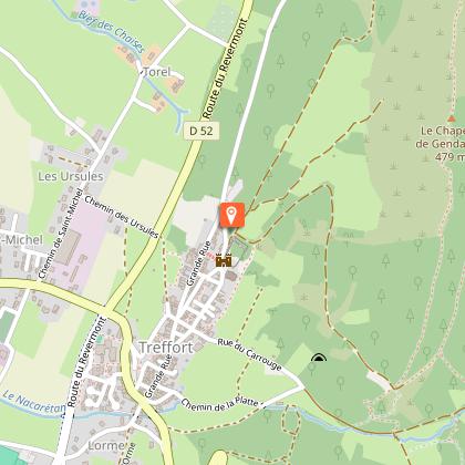
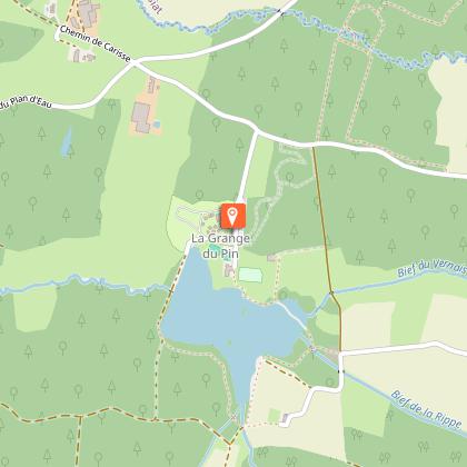
Starting point
Départ derrière le château de Treffort
,
01370Val-Revermont
We have no information on the difficulty of this circuit. You may encounter some surprises along the way. Before you go, please feel free to inquire more and take all necessary precautions. Have a good trip! 🌳🥾
Are you sure you want to delete your account?
This operation is irreversible and will permanently delete all data associated with your account, including routes, points of interest, widgets, statistics...Deletion will be effective across all applications published by Cirkwi and on Cirkwi web platforms.
Are you sure you want to delete your account?
Warning, you will be logged out, and your account deletion will take immediate effect.Do you confirm the permanent deletion of your account?You have 30 days to reconnect and reactivate your account before its permanent deletion.