Alert
Alerts
Mont Nivigne - Crête du Lomont
IGN cards


Technical Information
Altimetric profile
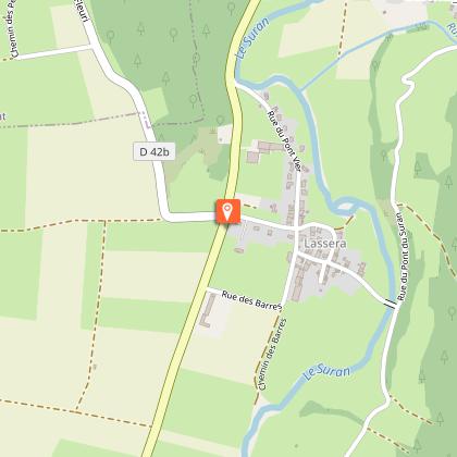
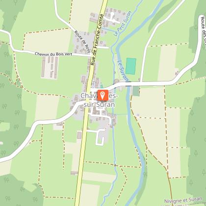
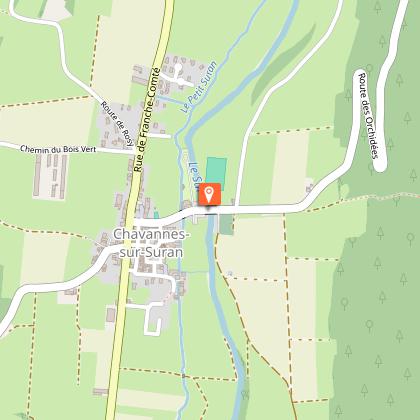
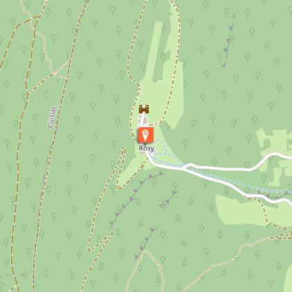
Starting point
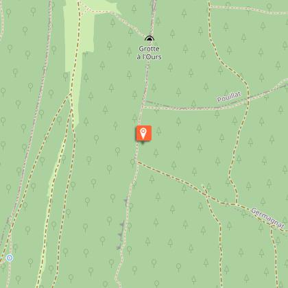
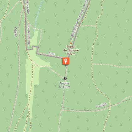
Points of interest

Additional information
Environments
Forest location
Mountain view
Village centre
Village 2 km away
Panoramic view
Updated by
Bourg-en-Bresse Destinations - Office de tourisme - 09/01/2026
www.bourgenbressedestinations.fr
Report a problem
Open period
All year round.
Contact
Phone : 04 74 22 49 40
Email : accueil@bourgenbressedestinations.fr
Website : https://www.bourgenbressedestinations.fr
Facebook : https://www.facebook.com/BourgenBresseTourisme
Type of land
Rock
Stone
Hard coating (tar, cement, flooring)
