Alert
Alerts
Randonnée - L'étang Barvey et plan d'eau de Viocel
Description
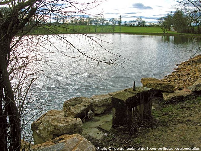
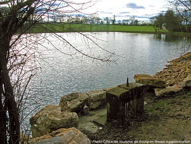
A stroll through the countryside of Saint-Denis-lès-Bourg: between Barvey Pond and Viocet Lake, enjoy the views of Buellas and the Mâconnais Mountains.
Must-see: Barvey Pond and Viocet Lake
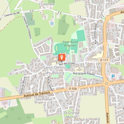
Starting point: St. Denis-les-Bourg Cemetery or Community Center
Technical Information
Altimetric profile
Starting point
Additional information
Updated by
Bourg-en-Bresse Destinations - Office de tourisme - 15/09/2026
www.bourgenbressedestinations.fr
Report a problem
Environments
Riverside
Lakeside or by stretch of water
Waterside
Pond within 5 km
20 - 30 min from a train station by car
10 - 20 min walk to bus stop
In the country
Lake view
Lake -5km away
River -5 km away
Village -2 km away
Distinctions
Listed PDIPR
Open period
All year round daily.
Contact
Phone : 04 74 22 49 40
Email : accueil@bourgenbressedestinations.fr
Website : https://www.bourgenbressedestinations.fr
Facebook : https://www.facebook.com/BourgenBresseTourisme
Type of land
Ground
Hard coating (tar, cement, flooring)
